
Whilton, village and civil parish in Northamptonshire, United Kingdom
Location: West Northamptonshire
GPS coordinates: 52.27770,-1.08153
Latest update: March 3, 2025 00:25
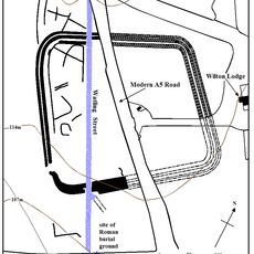
Bannaventa
1.4 km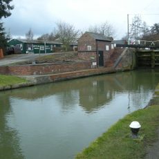
Whilton Locks
1.1 km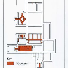
Borough Hill Roman villa
4.6 km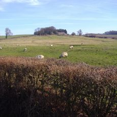
Muscott
1.6 km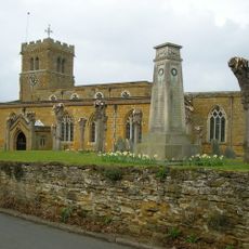
Church of St Lawrence
3 km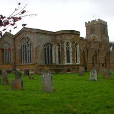
Church of St Mary the Virgin, Great Brington
4 km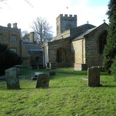
Church of St Peter and St Paul
2.2 km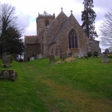
Church of St Mary the Virgin
4.5 km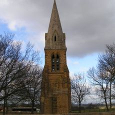
St Johns Church Tower
3.8 km
Church of All Saints
2.7 km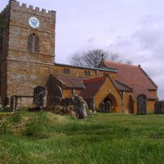
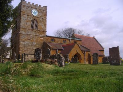
Church of St Andrew
872 m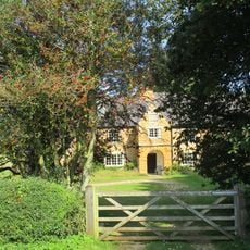
The Porch House
4.2 km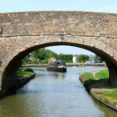
Grand Union Canal Bridge Number 10
2.7 km
Grand Union Canal Lower Gate House
1 km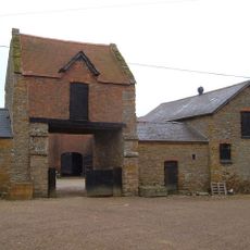
Gatehouse At Muscott House
1.6 km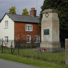
Great Brington War Memorial
3.9 km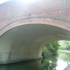
Grand Union Canal Long Buckby Wharf Bridge Number 12
2.1 km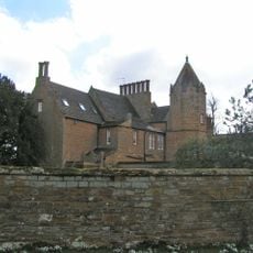
Green Meadow
4 km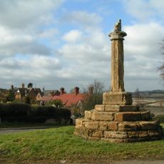
Cross, Approximately 40 Metres South West Of St Mary's Church
3.9 km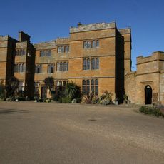
The Hall
2.2 km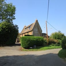
The Old School House
4.4 km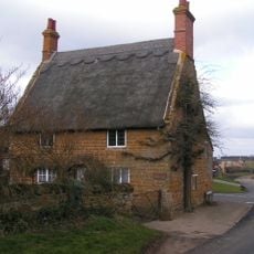
The Old Forge
3.3 km
Manor Farmhouse
2.2 km
Grand Union Canal Leicester Line Milepost South Of Bridge Number 5 At Sp597 673
4 km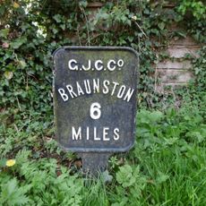
Milespost 3 Metres West Of Windlass Cottage By Towpath Of Grand Union Canal
1.1 km
Long Buckby ringwork and bailey
2.7 km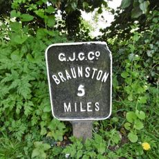
Grand Union Canal Long Buckby Wharf Milepost Approximately 16 Metres From Lock Number 9
1.4 km
Manor Farm, Cottage Used As Outbuilding
2.2 kmReviews
Visited this place? Tap the stars to rate it and share your experience / photos with the community! Try now! You can cancel it anytime.
Discover hidden gems everywhere you go!
From secret cafés to breathtaking viewpoints, skip the crowded tourist spots and find places that match your style. Our app makes it easy with voice search, smart filtering, route optimization, and insider tips from travelers worldwide. Download now for the complete mobile experience.

A unique approach to discovering new places❞
— Le Figaro
All the places worth exploring❞
— France Info
A tailor-made excursion in just a few clicks❞
— 20 Minutes