

Lake Oahe
60.3 km
South Dakota Governor's Residence
53.9 km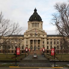
South Dakota State Capitol
54 km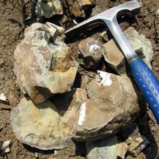
Pierre Shale
54.3 km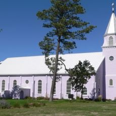
St. Francis Mission
83.2 km
Fort Pierre Chouteau
54.4 km
Verendrye Site
51.5 km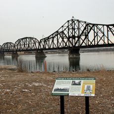
Chicago and North Western Railroad Bridge
53.6 km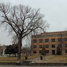
Hughes County Courthouse
53.9 km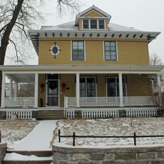
I. W. Goodner House
54.9 km
Peter Hansen House
54.9 km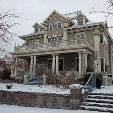
Farr House
54.2 km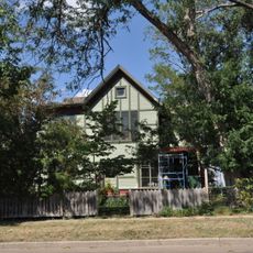
Dr. William and Elizabeth Blackburn House
54.3 km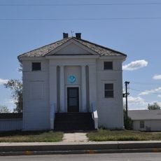
Mt. Moriah Masonic Lodge No. 155
67 km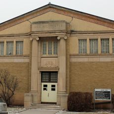
Pierre Masonic Lodge
81.4 km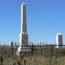
Spotted Tail Gravesite
80 km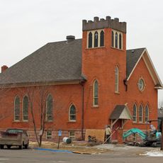
Fort Pierre Congregational Church
51.5 km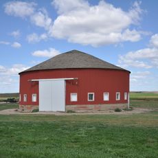
Freier Round Barn
16.6 km
Brink-Wegner House
55 km
Karcher–Sahr House
54.2 km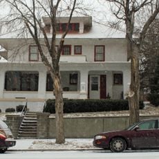
John E. and Ruth Hipple House
54.1 km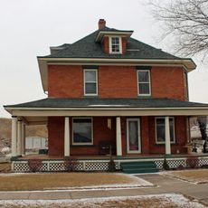
Jefferson Davis Carr House
51.6 km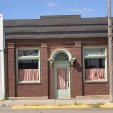
Murdo State Bank
7.2 km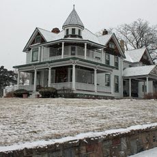
Crawford–Pettyjohn House
54 km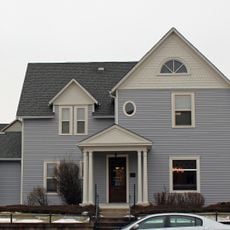
Horner–Hyde House
54 km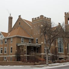
Methodist Episcopal Church
54 km
LaFramboise Island Nature Area
52.7 km
Okobojo Point Recreation Area
71.1 kmReviews
Visited this place? Tap the stars to rate it and share your experience / photos with the community! Try now! You can cancel it anytime.
Discover hidden gems everywhere you go!
From secret cafés to breathtaking viewpoints, skip the crowded tourist spots and find places that match your style. Our app makes it easy with voice search, smart filtering, route optimization, and insider tips from travelers worldwide. Download now for the complete mobile experience.

A unique approach to discovering new places❞
— Le Figaro
All the places worth exploring❞
— France Info
A tailor-made excursion in just a few clicks❞
— 20 Minutes