
Rock Rapids, city in Iowa, United States
Location: Lyon County
Elevation above the sea: 423 m
Website: http://rockrapids.com
GPS coordinates: 43.42806,-96.16861
Latest update: March 31, 2025 07:26

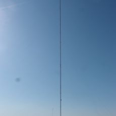
KDLT tower
32.5 km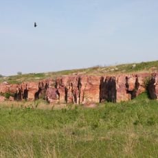
Blue Mounds State Park
32.2 km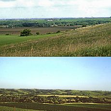
Blood Run Site
33.6 km
Palisades State Park
40.3 km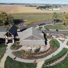
Good Earth State Park
34.8 km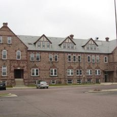
South Dakota School for the Deaf
45.1 km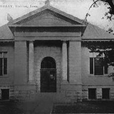
Carnegie Library
37.6 km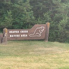
Beaver Creek Nature Area
33.4 km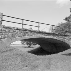
Melan Bridge
1.3 km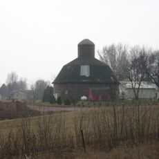
Shafer Round Barn
40.9 km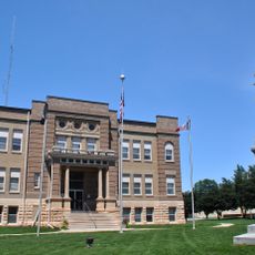
Osceola County Courthouse
34.2 km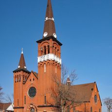
Church of St. Adrian-Catholic
29.7 km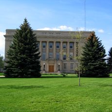
Lyon County Courthouse
244 m
Canton Lutheran Church
36.9 km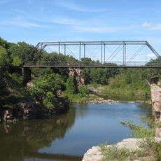
Palisades Bridge
40.5 km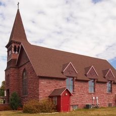
Holy Trinity Church-Episcopal
25.6 km
Great Bear Recreation Park
43.3 km
All Saints Historic District
46.5 km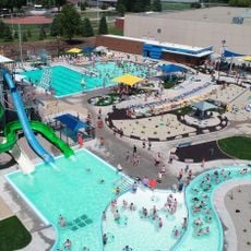
Swimming Pool
38.2 km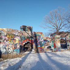
Gitchie Manitou State Preserve
35.1 km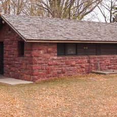
Blue Mounds State Park WPA/Rustic Style Historic Resources
32.1 km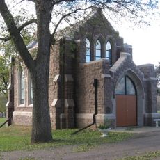
Josephine Martin Glidden Memorial Chapel
44.8 km
Luverne Lanes
25.4 km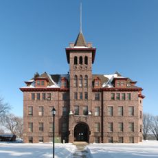
Old Main
35.9 km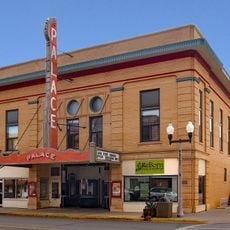
Palace Theatre
25.4 km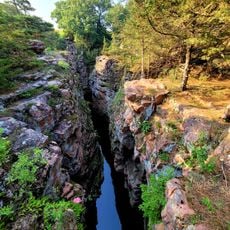
Devil's Gulch Park
42.1 km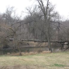
Bridge at Iverson Crossing
36.7 km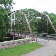
Cherry Rock Park Bridge
45 kmReviews
Visited this place? Tap the stars to rate it and share your experience / photos with the community! Try now! You can cancel it anytime.
Discover hidden gems everywhere you go!
From secret cafés to breathtaking viewpoints, skip the crowded tourist spots and find places that match your style. Our app makes it easy with voice search, smart filtering, route optimization, and insider tips from travelers worldwide. Download now for the complete mobile experience.

A unique approach to discovering new places❞
— Le Figaro
All the places worth exploring❞
— France Info
A tailor-made excursion in just a few clicks❞
— 20 Minutes