
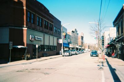
Irwin, borough of Pennsylvania
Location: Westmoreland County
Inception: September 1853
Website: http://downtownirwin.com
GPS coordinates: 40.32778,-79.70306
Latest update: April 27, 2025 04:30
Bushy Run Battlefield
7.7 km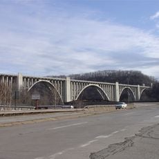
George Westinghouse Bridge
13.3 km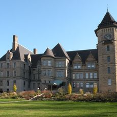
Westinghouse Air Brake Company General Office Building
11.4 km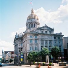
Westmoreland County Courthouse
13.6 km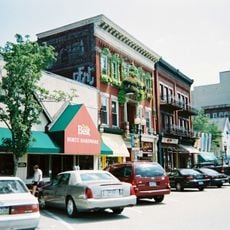
Greensburg Downtown Historic District
13.7 km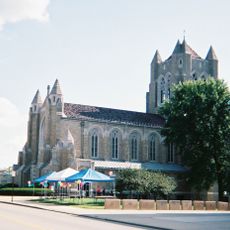
Cathedral of the Blessed Sacrament
13.5 km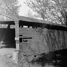
Bells Mills Covered Bridge
12.1 km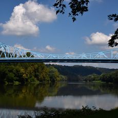
Boston Bridge
10.8 km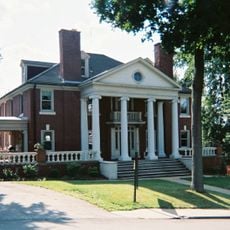
Academy Hill Historic District
13.5 km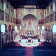
St. Mary's (German) Church, McKeesport
13.7 km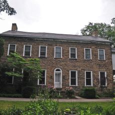
Brush Hill
1.2 km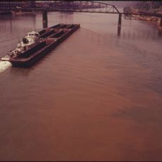
McKeesport Connecting Railroad Bridge
12.7 km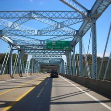
McKeesport-Duquesne Bridge
12.4 km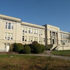
Turtle Creek High School
13.4 km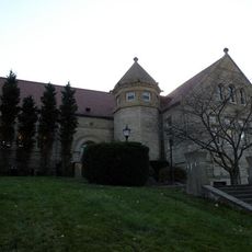
Carnegie Free Library
13.1 km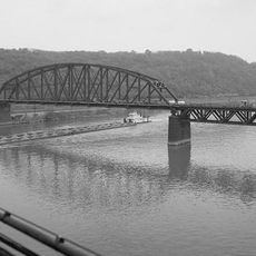
PRR Port Perry Bridge
14.2 km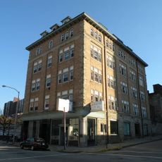
McKeesport National Bank
13.7 km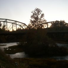
West Newton Bridge
14.2 km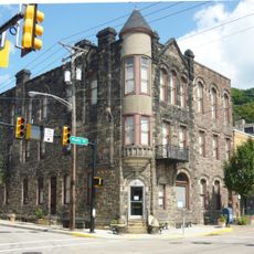
Dick Building
14.2 km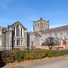
First Methodist Episcopal Church of McKeesport
13.3 km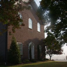
Brush Creek Salems Church
3.9 km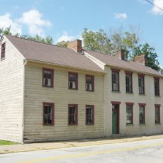
Plumer House
14.4 km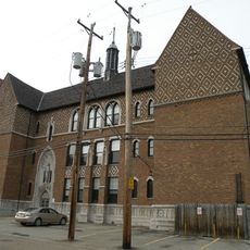
St. Colman's Catholic School
13.7 km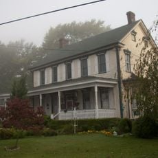
Andrew and Jennie McFarlane House
3.1 km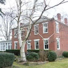
Sewickley Manor
3.1 km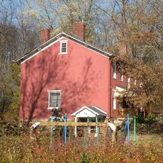
Bowman Homestead
11.4 km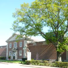
Westmoreland Museum of American Art
13.6 km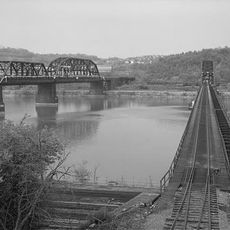
Union Railroad Port Perry Bridge
14.3 kmReviews
Visited this place? Tap the stars to rate it and share your experience / photos with the community! Try now! You can cancel it anytime.
Discover hidden gems everywhere you go!
From secret cafés to breathtaking viewpoints, skip the crowded tourist spots and find places that match your style. Our app makes it easy with voice search, smart filtering, route optimization, and insider tips from travelers worldwide. Download now for the complete mobile experience.

A unique approach to discovering new places❞
— Le Figaro
All the places worth exploring❞
— France Info
A tailor-made excursion in just a few clicks❞
— 20 Minutes