
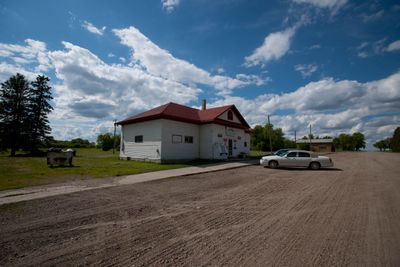
Luverne, human settlement in Steele County, North Dakota, United States of America
Location: Steele County
Inception: 1912
Elevation above the sea: 432 m
GPS coordinates: 47.25167,-97.93556
Latest update: May 3, 2025 05:28
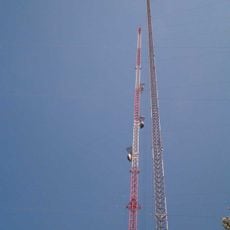
KXJB-TV mast
45 km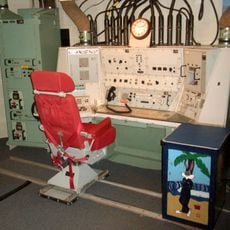
Ronald Reagan Minuteman Missile State Historic Site
31 km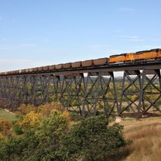
Hi-Line Railroad Bridge
35.1 km
Baldhill Dam
26.4 km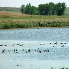
Johnson Lake National Wildlife Refuge
65.3 km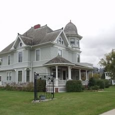
Carl Ben Eielson House
56.2 km
North Dakota Winter Show
37.6 km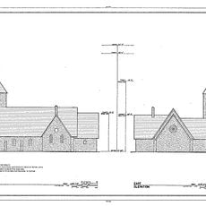
St. Stephen's Episcopal Church
67.4 km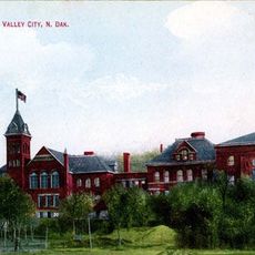
State Normal School at Valley City Historic District
37.5 km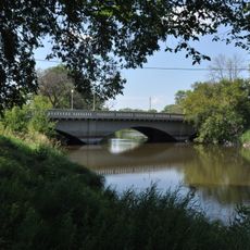
West Park Bridge
37.3 km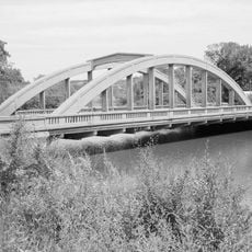
Rainbow Arch Bridge
36.8 km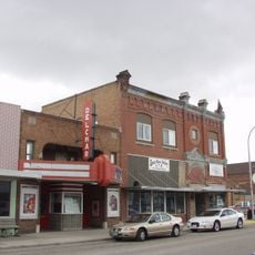
Delchar Theatre
53.6 km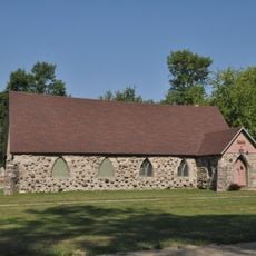
Old Stone Church
46.9 km
Valley City Municipal Auditorium
37.2 km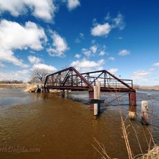
Romness Bridge
37.7 km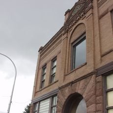
Goose River Bank
53.7 km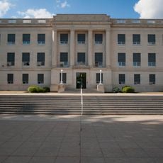
Barnes County Courthouse
36.5 km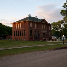
1916 Buffalo High School
47 km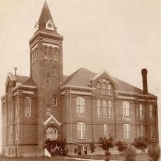
Griggs County Courthouse
25.5 km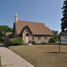
All Saints Episcopal Church
36.3 km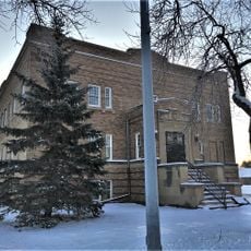
Northern Lights Masonic Lodge
25.6 km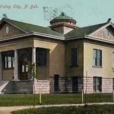
Valley City Carnegie Library
36.6 km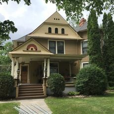
Col. William H. Robinson House
54 km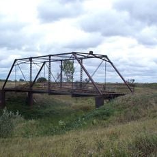
Blanchard Bridge
55.1 km
First National Bank
53.6 km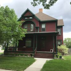
Stomner House
53.9 km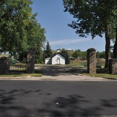
Amphitheater and Fieldstone WPA Features at Valley City Pioneer Park
36.6 km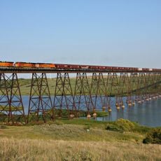
Sheyenne River Bridge
5.9 kmReviews
Visited this place? Tap the stars to rate it and share your experience / photos with the community! Try now! You can cancel it anytime.
Discover hidden gems everywhere you go!
From secret cafés to breathtaking viewpoints, skip the crowded tourist spots and find places that match your style. Our app makes it easy with voice search, smart filtering, route optimization, and insider tips from travelers worldwide. Download now for the complete mobile experience.

A unique approach to discovering new places❞
— Le Figaro
All the places worth exploring❞
— France Info
A tailor-made excursion in just a few clicks❞
— 20 Minutes