
Oelwein, human settlement in Fayette County, Iowa, United States of America
Location: Fayette County
Inception: 1872
Elevation above the sea: 319 m
Website: http://www.cityofoelwein.org/main
Website: http://cityofoelwein.org/main
GPS coordinates: 42.67694,-91.91583
Latest update: May 1, 2025 03:01
Backbone State Park
29.7 km
Cedar Rock State Park
32.4 km
Malek Theater
23 km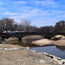
Dunkerton Bridge
23.2 km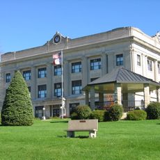
Fayette County Courthouse
32.8 km
Lee House
23.6 km
Alexander-Dickman Hall
20.6 km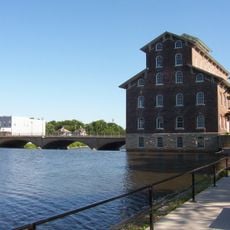
Wapsipinicon Mill
23.2 km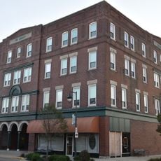
Hotel Mealey
182 m
Buchanan County Courthouse
23.1 km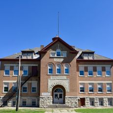
Sumner High School
24.2 km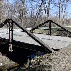
280th Street Bridge
32.6 km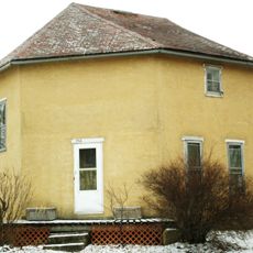
William Waterfield House
34.3 km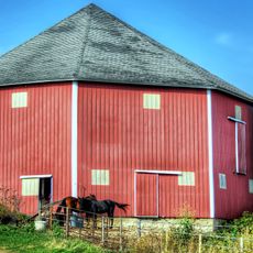
Grimes Octagon Barn
31.9 km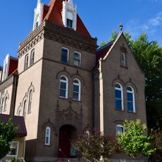
Munson Building
23.1 km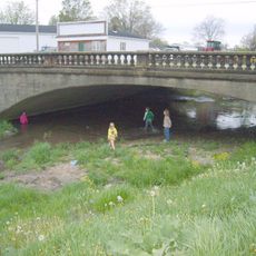
Vine Street Bridge
32.1 km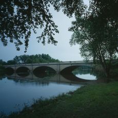
Wapsipinicon River Bridge
24.3 km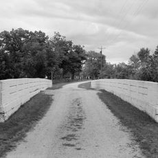
Twin Bridge
16 km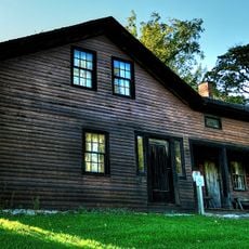
Richardson-Jakway House
18.1 km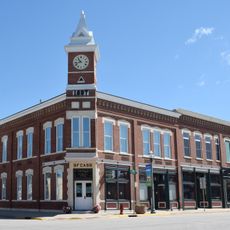
Bank of Sumner
24.2 km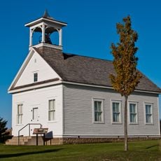
Bennington No. 4
32.4 km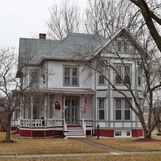
Robert R. and Julia L. Plane House
23.5 km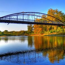
Taylor's Ford Bridge
32 km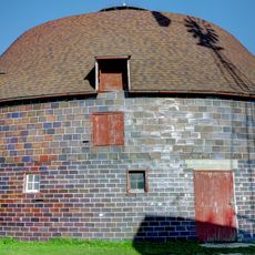
Erza McKenzie Round Barn
7.9 km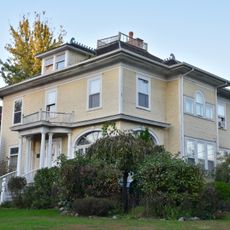
Alfred Hanson House
770 m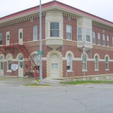
Maple View Sanitarium
770 m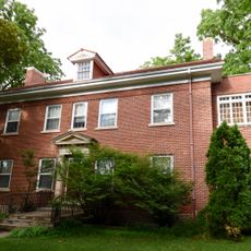
Dr. Judd C. and Margaret S. Clarke Shellito House
23.6 km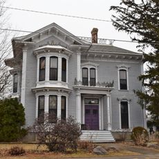
Eliphalet W. and Catherine E. Jaquish Purdy House
23.4 kmReviews
Visited this place? Tap the stars to rate it and share your experience / photos with the community! Try now! You can cancel it anytime.
Discover hidden gems everywhere you go!
From secret cafés to breathtaking viewpoints, skip the crowded tourist spots and find places that match your style. Our app makes it easy with voice search, smart filtering, route optimization, and insider tips from travelers worldwide. Download now for the complete mobile experience.

A unique approach to discovering new places❞
— Le Figaro
All the places worth exploring❞
— France Info
A tailor-made excursion in just a few clicks❞
— 20 Minutes