
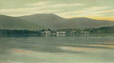
Tuftonboro, human settlement in Carroll County, New Hampshire, United States of America
Location: Carroll County
Elevation above the sea: 301 m
Website: http://tuftonboro.org
GPS coordinates: 43.69611,-71.22250
Latest update: April 11, 2025 16:27
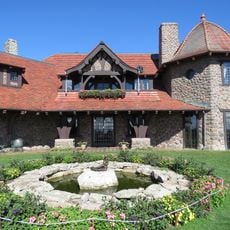
Castle in the Clouds
8.8 km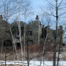
Kimball Castle
17.8 km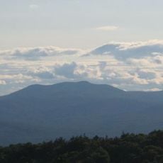
Mount Shaw
6.8 km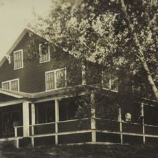
Camp Cody
14.5 km
Ellacoya State Park
17.3 km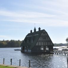
Swallow Boathouse
14.8 km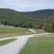
Mount Roberts
10.7 km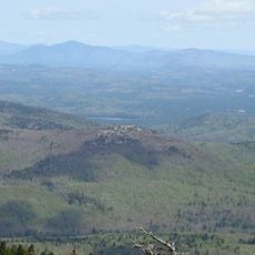
Bayle Mountain
10 km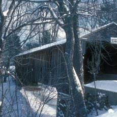
Whittier Bridge
14.1 km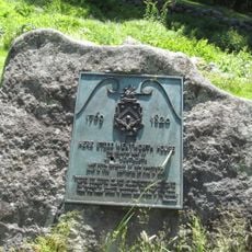
Governor Wentworth Historic Site
13 km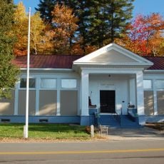
Libby Museum
9.6 km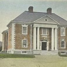
Carroll County Court House
8.5 km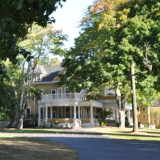
Windermere
11.9 km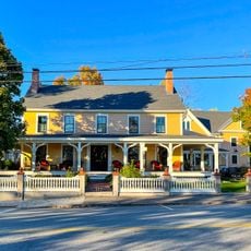
Pickering House
12.5 km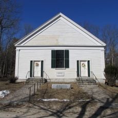
Cotton Mountain Community Church
14.2 km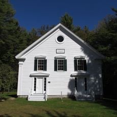
First Free Will Baptist Church
16.5 km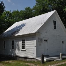
Early Settlers Meeting House
15.7 km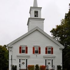
Tuftonboro United Methodist Church
116 m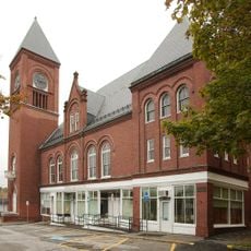
Brewster Memorial Hall
12.4 km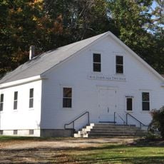
Moultonborough Town House
15.6 km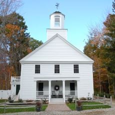
Union Church
15.3 km
High, Church and Gould Streets Historic District
17.6 km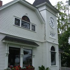
Cook Memorial Library
18.5 km
Remick Country Doctor Museum & Farm
18.4 km
Moultonborough Town Beach
10.9 km
Wolfeboro Town Beach
13 km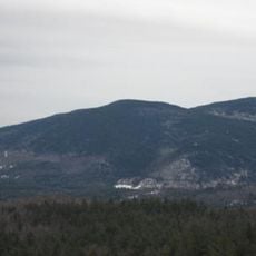
Mount Whittier
12.9 km
Allen Albee Beach
10.8 kmReviews
Visited this place? Tap the stars to rate it and share your experience / photos with the community! Try now! You can cancel it anytime.
Discover hidden gems everywhere you go!
From secret cafés to breathtaking viewpoints, skip the crowded tourist spots and find places that match your style. Our app makes it easy with voice search, smart filtering, route optimization, and insider tips from travelers worldwide. Download now for the complete mobile experience.

A unique approach to discovering new places❞
— Le Figaro
All the places worth exploring❞
— France Info
A tailor-made excursion in just a few clicks❞
— 20 Minutes