
Hale's Location, township in Carroll County, New Hampshire
Location: Carroll County
Elevation above the sea: 161 m
GPS coordinates: 44.03917,-71.17222
Latest update: March 13, 2025 05:01
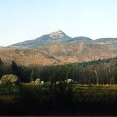
Mount Chocorua
12.4 km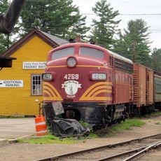
Conway Scenic Railroad
3.8 km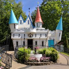
Story Land
8.6 km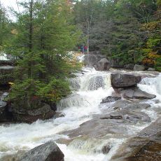
Diana's Baths
3.6 km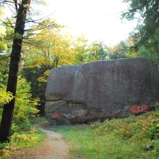
Madison Boulder
12 km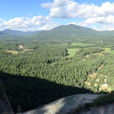
Echo Lake-Cathedral Ledge State Park
2 km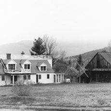
Joy Farm
13.8 km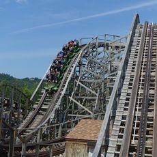
Roar-o-Saurus
8.6 km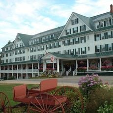
Eagle Mountain House
13.1 km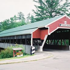
Honeymoon Bridge
11.4 km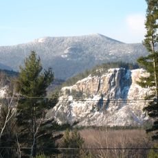
North Moat Mountain
3.4 km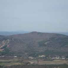
Black Cap
8.6 km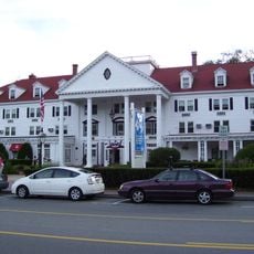
Eastern Slope Inn
3.8 km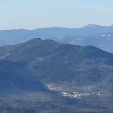
Bear Mountain
10.4 km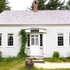
Russell-Colbath House
14.3 km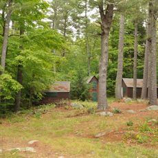
Abenaki Indian Shop and Camp
4.9 km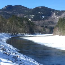
Bartlett Haystack
12.5 km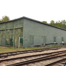
Bartlett Roundhouse
10.1 km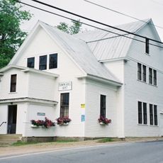
Jackson Falls National Register Historic District
12.1 km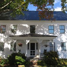
William K. Eastman House
7.8 km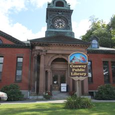
Conway Public Library
8.1 km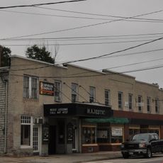
Majestic Theatre
7.9 km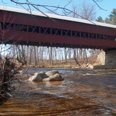
Swift River Bridge
7.4 km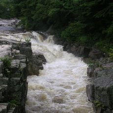
Rocky Gorge
9.4 km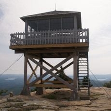
Pequawket Fire Tower
9.7 km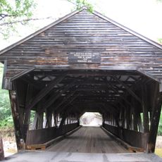
Albany Bridge
6.6 km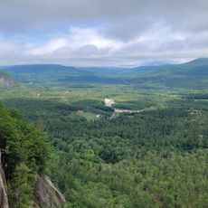
Cathedral Ledge
2.7 km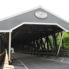
Saco River Bridge
7.6 kmReviews
Visited this place? Tap the stars to rate it and share your experience / photos with the community! Try now! You can cancel it anytime.
Discover hidden gems everywhere you go!
From secret cafés to breathtaking viewpoints, skip the crowded tourist spots and find places that match your style. Our app makes it easy with voice search, smart filtering, route optimization, and insider tips from travelers worldwide. Download now for the complete mobile experience.

A unique approach to discovering new places❞
— Le Figaro
All the places worth exploring❞
— France Info
A tailor-made excursion in just a few clicks❞
— 20 Minutes