
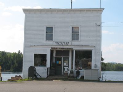
Shirley, town in Maine, United States
Location: Piscataquis County
Elevation above the sea: 319 m
GPS coordinates: 45.34750,-69.63111
Latest update: March 13, 2025 20:34

Hundred-Mile Wilderness
47.1 km
Gulf Hagas
28.5 km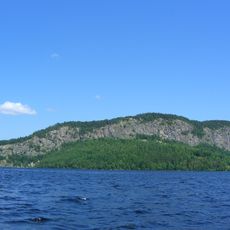
Mount Kineo
40 km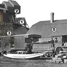
Katahdin Iron Works
37.2 km
Moxie Falls
24 km
Katahdin
13.6 km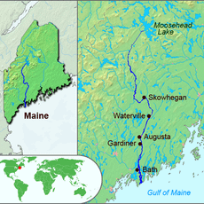
Wyman Dam
37.7 km
Coburn Mountain
41 km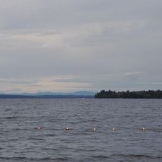
Lily Bay State Park
25.6 km
White Cap Mountain
37.9 km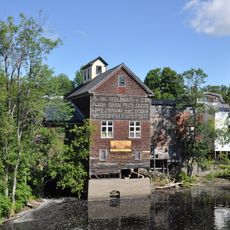
American Woolen Company Foxcroft Mill
36.3 km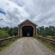
Lowes Bridge
31.3 km
Saddleback Mountain
42.7 km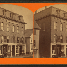
Bank Block
44.8 km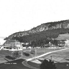
Kineo Cottage Row Historic District
39 km
Center Theatre
36.4 km
William M. Shaw House
13 km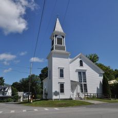
Former Free Will Baptist Church
51.7 km
Abbott Memorial Library
44.9 km
Swedish Lutheran Church
12.2 km
South Solon Meetinghouse
49.7 km
Chandler-Parsons Blacksmith Shop
33.4 km
Concord Haven
45.6 km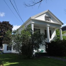
James Sullivan Wiley House
36.7 km
Bingham Free Meetinghouse
38.3 km
Guilford Memorial Library
27.7 km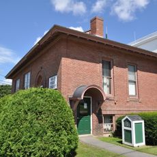
Milo Public Library
51.3 km
Robert Carleton House
29.5 kmReviews
Visited this place? Tap the stars to rate it and share your experience / photos with the community! Try now! You can cancel it anytime.
Discover hidden gems everywhere you go!
From secret cafés to breathtaking viewpoints, skip the crowded tourist spots and find places that match your style. Our app makes it easy with voice search, smart filtering, route optimization, and insider tips from travelers worldwide. Download now for the complete mobile experience.

A unique approach to discovering new places❞
— Le Figaro
All the places worth exploring❞
— France Info
A tailor-made excursion in just a few clicks❞
— 20 Minutes