
Chesterfield, town in New York, United States
Location: Essex County
Elevation above the sea: 205 m
GPS coordinates: 44.47028,-73.47778
Latest update: April 4, 2025 01:56
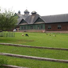
Shelburne Farms
19.6 km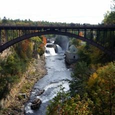
Ausable Chasm
6.7 km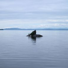
Rock Dunder
17.5 km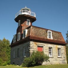
Bluff Point Light
17.4 km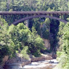
AuSable Chasm Bridge
6.2 km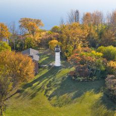
Juniper Island Light
16.2 km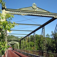
Double-Span Metal Pratt Truss Bridge
3.4 km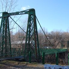
Swing Bridge
3.7 km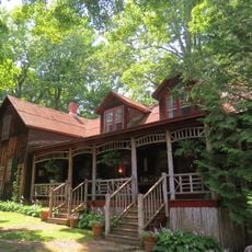
Ligonier Point Historic District
10.2 km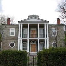
Elkanah Watson House
8.3 km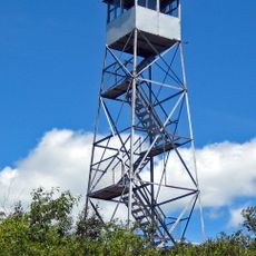
Poke-O-Moonshine Mountain Fire Observation Station
8.1 km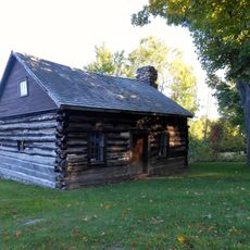
Adsit Log Cabin
9.7 km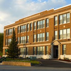
The Willsboro School
13.7 km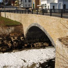
Stone Arch Bridge
3.9 km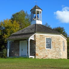
Octagonal Schoolhouse
19.5 km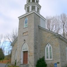
Willsboro Congregational Church
13.7 km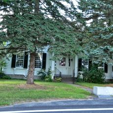
Edgewater Farm
10.7 km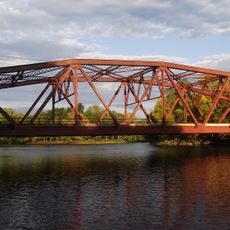
Carpenter's Flats Bridge
10.1 km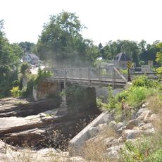
Old State Road Bridge
6.1 km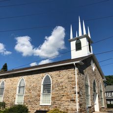
Peru Community Church
12.7 km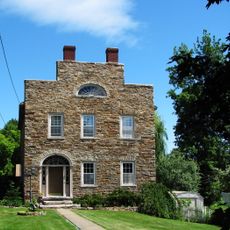
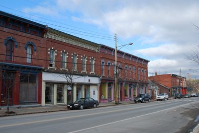
Keeseville Historic District
3.8 km
Rembrandt Hall
3.5 km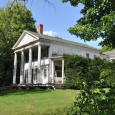
Tomlinson House
3.6 km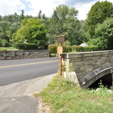
Palmer Brook Bridge
15.9 km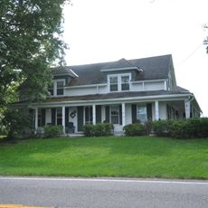
Sheldon-Owens Farm
16.1 km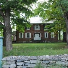
Abraham Aiken House
16.8 km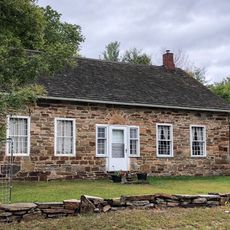
Miller Homestead
8.9 km
North Star Underground Railroad Museum
6.3 kmReviews
Visited this place? Tap the stars to rate it and share your experience / photos with the community! Try now! You can cancel it anytime.
Discover hidden gems everywhere you go!
From secret cafés to breathtaking viewpoints, skip the crowded tourist spots and find places that match your style. Our app makes it easy with voice search, smart filtering, route optimization, and insider tips from travelers worldwide. Download now for the complete mobile experience.

A unique approach to discovering new places❞
— Le Figaro
All the places worth exploring❞
— France Info
A tailor-made excursion in just a few clicks❞
— 20 Minutes