
Misenheimer, human settlement in North Carolina, United States of America
Location: Stanly County
Inception: 2003
Website: http://villageofmisenheimer.com
GPS coordinates: 35.48500,-80.28833
Latest update: March 5, 2025 18:43
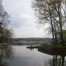
High Rock Lake
16.4 km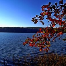
Badin Lake
19.2 km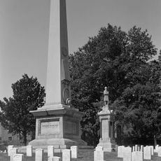
Salisbury National Cemetery
25.8 km
Tuckertown Reservoir
9.9 km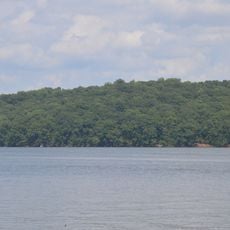
Hardaway Site
17.8 km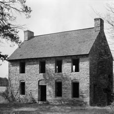
Michael Braun House
20.6 km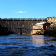
Narrows Dam and Power Plant Complex
19.2 km
Salisbury Historic District
26.1 km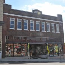
Downtown Albemarle Historic District
17.1 km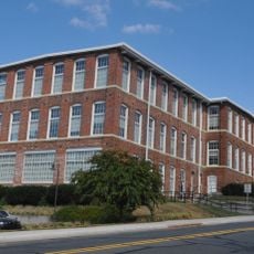
Five Points Historic District
17.2 km
Isaiah Wilson Snugs House
17.1 km
John Steele House
26.1 km
Bernhardt House
25.8 km
Mount Pleasant Collegiate Institute Historic District
16.3 km
Thomas Marcellus Denning House
16.5 km
Community Building
26.1 km
Mount Pleasant Historic District
16.2 km
Pee Dee Avenue Historic District
17.3 km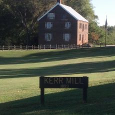
Kerr Mill
12.8 km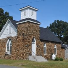
First Congregational Church
15.9 km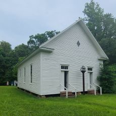
Mount Ebal Methodist Protestant Church
25.4 km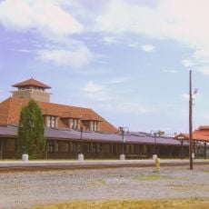
Salisbury Railroad Corridor Historic District
25.9 km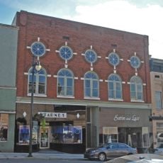
Albemarle Opera House
17 km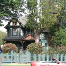
North Long Street-Park Avenue Historic District
25.6 km
Second Street Historic District
16.9 km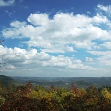
Morrow Mountain State Park
21.2 km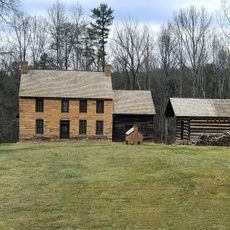
Old Stone House
20.5 km
Pfeiffer Junior College Historic District
354 mReviews
Visited this place? Tap the stars to rate it and share your experience / photos with the community! Try now! You can cancel it anytime.
Discover hidden gems everywhere you go!
From secret cafés to breathtaking viewpoints, skip the crowded tourist spots and find places that match your style. Our app makes it easy with voice search, smart filtering, route optimization, and insider tips from travelers worldwide. Download now for the complete mobile experience.

A unique approach to discovering new places❞
— Le Figaro
All the places worth exploring❞
— France Info
A tailor-made excursion in just a few clicks❞
— 20 Minutes