
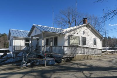
Litchfield, town in Maine, United States
Location: Kennebec County
Elevation above the sea: 85 m
Website: http://www.litchfieldmaine.com
Website: http://litchfieldmaine.com
GPS coordinates: 44.17417,-69.93361
Latest update: March 3, 2025 23:31
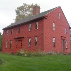
Major Reuben Colburn House
14.5 km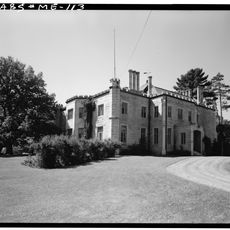
Oaklands
14.1 km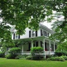
Edwin Arlington Robinson House
13.8 km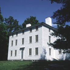
Pownalborough Courthouse
15.4 km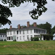
Vaughan Homestead
15.9 km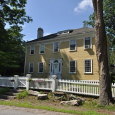
Laura Richards House
14.1 km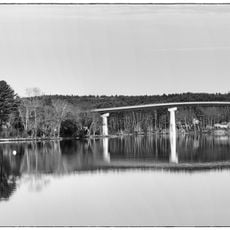
Maine Kennebec Bridge
15.2 km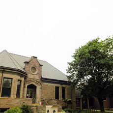
Charles M. Bailey Public Library
15.2 km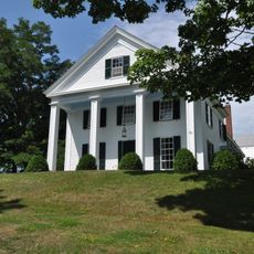
Peter Grant House
14.8 km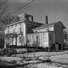
Richmond Historic District
14.4 km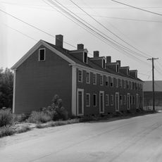
Hallowell Historic District
16.8 km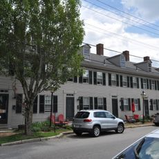
Row House
16.9 km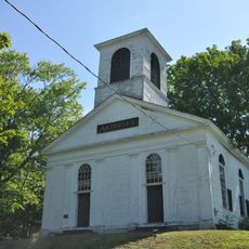
Pittston Congregational Church
15 km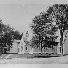
Hubbard Free Library
16.8 km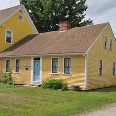
Blossom House
10.9 km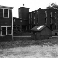
Webster Rubber Company Plant
15.3 km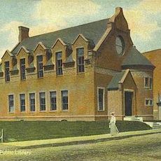
Gardiner Public Library
14.8 km
Gardiner Historic District
14.4 km
Moses Bailey House
14.6 km
Winthrop Mills Company
15.1 km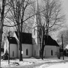
St. Matthew's Episcopal Church
16.7 km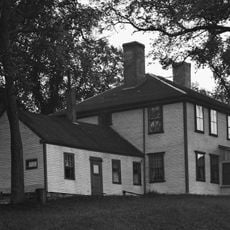
Bowman-Carney House
15.5 km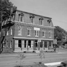
Southard Block
14.4 km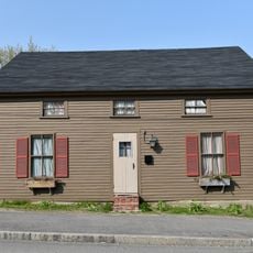
Bond Street Historic District
10.9 km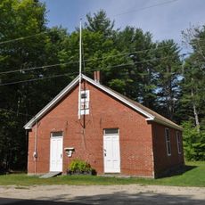
Dresden Brick School House
16.1 km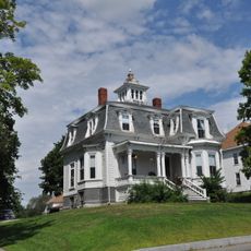
Capt. Nathaniel Stone House
14.8 km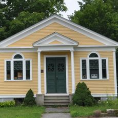
North Monmouth Library
13.6 km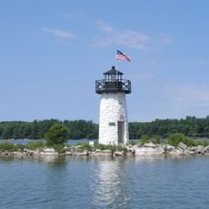
Ladies Delight Light
14.8 kmReviews
Visited this place? Tap the stars to rate it and share your experience / photos with the community! Try now! You can cancel it anytime.
Discover hidden gems everywhere you go!
From secret cafés to breathtaking viewpoints, skip the crowded tourist spots and find places that match your style. Our app makes it easy with voice search, smart filtering, route optimization, and insider tips from travelers worldwide. Download now for the complete mobile experience.

A unique approach to discovering new places❞
— Le Figaro
All the places worth exploring❞
— France Info
A tailor-made excursion in just a few clicks❞
— 20 Minutes