
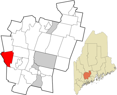
Wayne, town in Kennebec County, Maine, United States
Location: Kennebec County
Elevation above the sea: 91 m
GPS coordinates: 44.34861,-70.06611
Latest update: March 29, 2025 18:52

Maine State House
23.1 km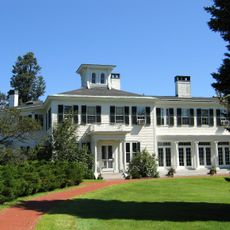
The Blaine House
23.1 km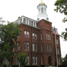
Kents Hill School
8 km
Maine State Museum
23.1 km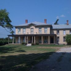
The Norlands
13.3 km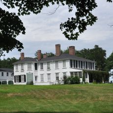
Vaughan Homestead
23 km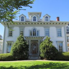
Tappan-Viles House
23.2 km
Holmes-Crafts Homestead
22.8 km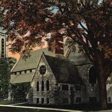
St. Mark's Episcopal Church
23.2 km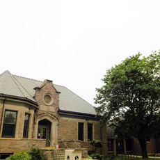
Charles M. Bailey Public Library
8.7 km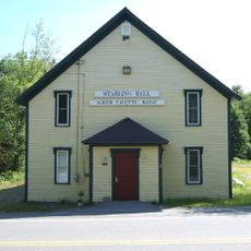
Starling Grange
11.2 km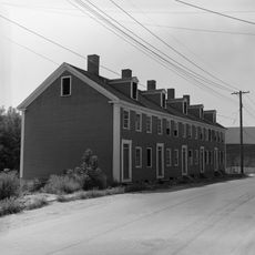
Hallowell Historic District
22.9 km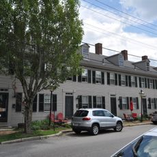
Row House
23 km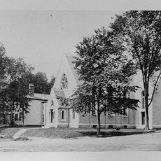
Hubbard Free Library
23 km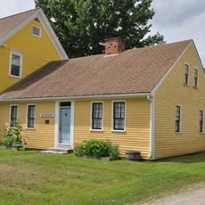
Blossom House
12.6 km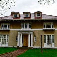
Guy P. Gannett House
23.1 km
Moses Bailey House
12.3 km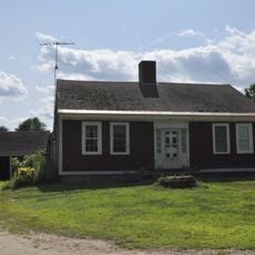
Enoch Hall House
23.2 km
Winthrop Mills Company
8.8 km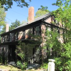
Lot Morrill House
22.8 km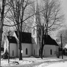
St. Matthew's Episcopal Church
22.8 km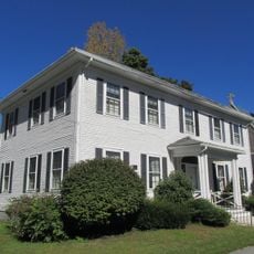
Fuller-Weston House
23.1 km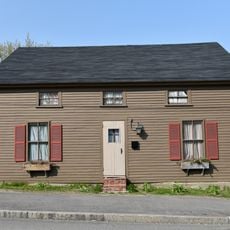
Bond Street Historic District
12.6 km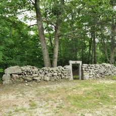
Turner Cattle Pound
17.2 km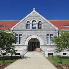
Winthrop Street Historic District
23 km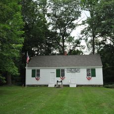
Turner Town House
15.3 km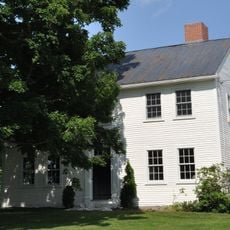
David Warren House
22.9 km
North Monmouth Library
8.7 kmReviews
Visited this place? Tap the stars to rate it and share your experience / photos with the community! Try now! You can cancel it anytime.
Discover hidden gems everywhere you go!
From secret cafés to breathtaking viewpoints, skip the crowded tourist spots and find places that match your style. Our app makes it easy with voice search, smart filtering, route optimization, and insider tips from travelers worldwide. Download now for the complete mobile experience.

A unique approach to discovering new places❞
— Le Figaro
All the places worth exploring❞
— France Info
A tailor-made excursion in just a few clicks❞
— 20 Minutes