
Hillburn, human settlement in Rockland County, New York, United States of America
Location: Rockland County
Inception: 1893
Elevation above the sea: 93 m
Website: http://www.hillburn.org/
Shares border with: Mahwah
Website: http://hillburn.org
GPS coordinates: 41.12470,-74.16580
Latest update: March 6, 2025 10:05
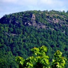
Ramapo Mountains
7.6 km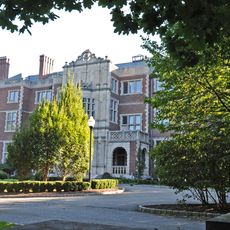
Crocker-McMillin Mansion
6.2 km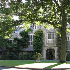
Skylands
6 km
Ringwood State Park
7.7 km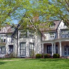
Ringwood Manor
7.6 km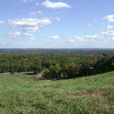
Campgaw Mountain
8.3 km
Ramapo Mountain Reservation
5.8 km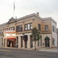
Lafayette Theatre
1.7 km
St. Mary's-in-Tuxedo
8.2 km
Monsey Church
8.2 km
Sloat House
3.8 km
Crocker-McMillin Mansion-Immaculate Conception Seminary
6.2 km
Washington Avenue Soldier's Monument and Triangle
1.8 km
Houser-Conklin House
8.4 km
Westervelt-Ackerson House
6 km
Jacob Sloat House
4.2 km
Brook Chapel
877 m
Hopper-Van Horn House
4.1 km
Torne Brook Farm
1.7 km
St. Elizabeth's Memorial Chapel, Tuxedo
6.2 km
Darlington Schoolhouse
5.3 km
John A. DeBaun Mill
5.3 km
Richard Pousette-Dart House and Studio
7.5 km
Main School
331 m
Gurnee–Sherwood House
7 km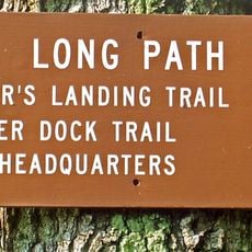
Long Path
2.8 km
Holocaust Museum & Center for Tolerance and Education
6.7 km
Ramapo Mountain State Forest
3.5 kmReviews
Visited this place? Tap the stars to rate it and share your experience / photos with the community! Try now! You can cancel it anytime.
Discover hidden gems everywhere you go!
From secret cafés to breathtaking viewpoints, skip the crowded tourist spots and find places that match your style. Our app makes it easy with voice search, smart filtering, route optimization, and insider tips from travelers worldwide. Download now for the complete mobile experience.

A unique approach to discovering new places❞
— Le Figaro
All the places worth exploring❞
— France Info
A tailor-made excursion in just a few clicks❞
— 20 Minutes