
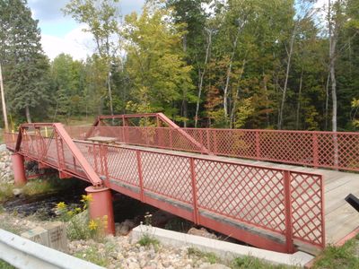
Armstrong Creek Bridge, United States historic place
Location: Armstrong Creek
Inception: 1908
GPS coordinates: 45.64111,-88.44634
Latest update: March 11, 2025 12:23
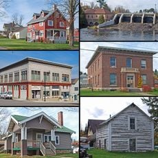
Iron County MRA
51.3 km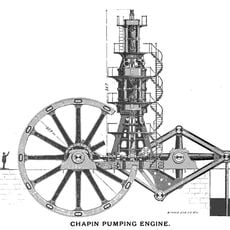
Chapin Mine Steam Pump Engine
35.7 km
Governor Thompson State Park
37.5 km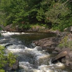
Dave's Falls
39.2 km
Bewabic State Park
50 km
Headwaters Wilderness
43.7 km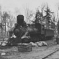
Lumberjack Steam Train
20.4 km
Iron Mountain Central Historic District
35.5 km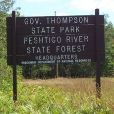
Peshtigo River State Forest
44 km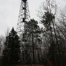
Mountain Fire Lookout Tower
47.4 km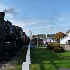
Camp Five Museum
21.4 km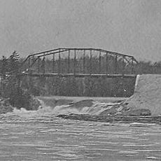
Upper Twin Falls Bridge
38.8 km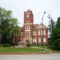
Dickinson County Courthouse and Jail
35.7 km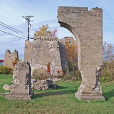
Ardis Furnace
37.6 km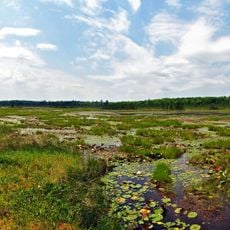
Grandma Lake Wetlands State Natural Area
23.5 km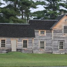
Dinesen-Motzfeldt-Hettinger Log House
44.2 km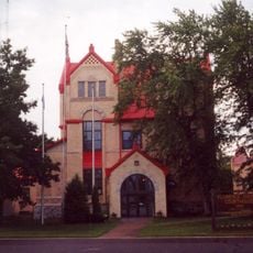
Florence County Courthouse and Jail
34.7 km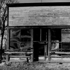
Minertown-Oneva
32 km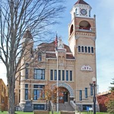
Iron County Courthouse
51.4 km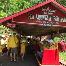
Iron Mountain Iron Mine
47.9 km
Bose Lake Hemlock Hardwoods
52.1 km
Fern School
22.2 km
Menominee River Park Archeological District
31.8 km
Chicago and North-Western Land Office
28 km
Chicagon Mine Road–Chicagon Creek Bridge
50.8 km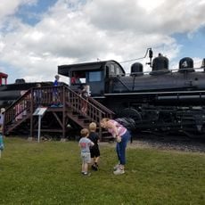
Lumberjack Steam Train & Camp 5 Museum
20.4 km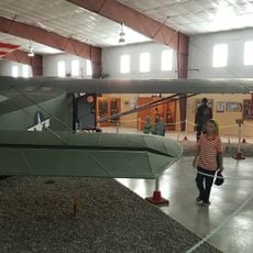
World War II Glider and Military Museum
35.7 km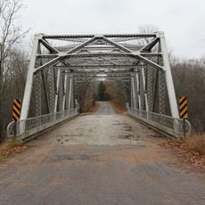
Smyth Road Bridge
36.4 kmReviews
Visited this place? Tap the stars to rate it and share your experience / photos with the community! Try now! You can cancel it anytime.
Discover hidden gems everywhere you go!
From secret cafés to breathtaking viewpoints, skip the crowded tourist spots and find places that match your style. Our app makes it easy with voice search, smart filtering, route optimization, and insider tips from travelers worldwide. Download now for the complete mobile experience.

A unique approach to discovering new places❞
— Le Figaro
All the places worth exploring❞
— France Info
A tailor-made excursion in just a few clicks❞
— 20 Minutes