
Lái Thiêu, ward in Southeast, Vietnam
Location: Thuận An
Elevation above the sea: 13 m
GPS coordinates: 10.90489,106.70000
Latest update: April 6, 2025 05:56
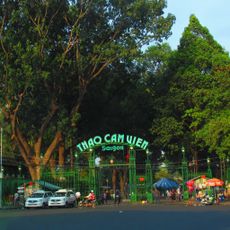
Saigon Zoo and Botanical Gardens
13 km
Văn Miếu Trấn Biên
12.9 km
Giraffes
13 km
Jade Emperor Pagoda
12.6 km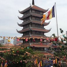
Vinh Nghiem Pagoda
12.9 km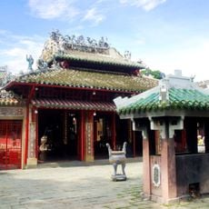
Tomb of Lê Văn Duyệt
11.5 km
Saigon Bridge
12.2 km
Binh Loi Road Bridge
9 km
Tan Dinh church
13 km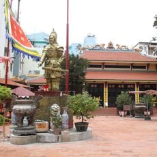
Tran Hung Dao Temple
15.2 km
Phu Cuong Bridge
10.5 km
Hoi Khanh Temple
9.6 km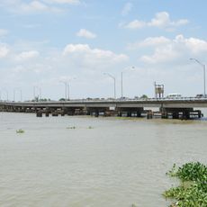
Hóa An Bridge
12.5 km
Vincom Center Dong Khoi
8.9 km
Go Dau Stadium
7.9 km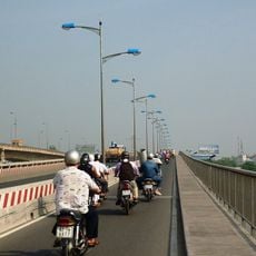
Bình Triệu Bridge
9.5 km
Miếu Nổi
8.1 km
Southeastern Armed Forces Museum Military Zone 7
12.3 km
History Museum of Ho Chi Minh City
13 km
Saint Joseph Church
8.8 km
Rach Chiec Bridge
12 km
Saigon Water Park
8.7 km
Phu Long Bridge
1.8 km
Cầu Bông
12.4 km
Landmark 81
12.5 km
Ho Chi Minh City Children's Center
12.2 km
Cầu Bùi Hữu Nghĩa
12.4 km
Dìn Ký
2.5 kmReviews
Visited this place? Tap the stars to rate it and share your experience / photos with the community! Try now! You can cancel it anytime.
Discover hidden gems everywhere you go!
From secret cafés to breathtaking viewpoints, skip the crowded tourist spots and find places that match your style. Our app makes it easy with voice search, smart filtering, route optimization, and insider tips from travelers worldwide. Download now for the complete mobile experience.

A unique approach to discovering new places❞
— Le Figaro
All the places worth exploring❞
— France Info
A tailor-made excursion in just a few clicks❞
— 20 Minutes