
Gò Công Đông, district in Mekong Delta, Vietnam
Location: Tiền Giang
Elevation above the sea: 2 m
GPS coordinates: 10.36784,106.74592
Latest update: March 6, 2025 02:51
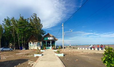

Dragon House
44.8 km
Rạch Miễu Bridge
44.1 km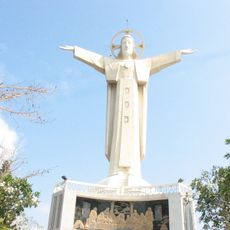
Christ of Vung Tau
37.4 km
Thong Nhat Stadium
44.7 km
Vinh Trang Temple
40.8 km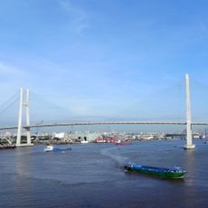
Phu My Bridge
42 km
Thien Hau Temple
43.9 km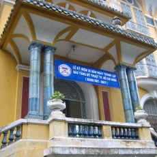
Ho Chi Minh City Museum of Fine Arts
45 km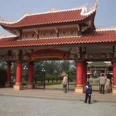
Tomb of Nguyen Dinh Chieu
41 km
Cha Va Bridge
43.4 km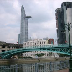
Mong Bridge
44.8 km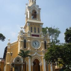
Jeanne d'Arc Church
44.2 km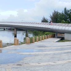
Ánh Sao Bridge
39.8 km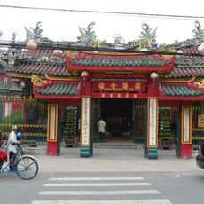
Quan Am Temple
44 km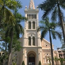
Sacred Heart Church
43.9 km
Rừng Sác Road
17.3 km
Nhi Thien Duong Bridge
42.8 km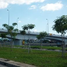
Nguyễn Tri Phương Bridge
43.3 km
Khanh Hoi Bridge
44.9 km
Cầu Quay
41.3 km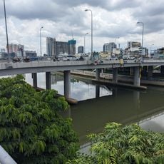
Calmette Bridge
44.6 km
Tan An Bridge
41.5 km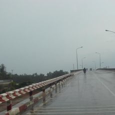
Cầu Ông Thìn
33 km
Long An Stadium
41.4 km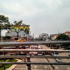
Cầu vượt vòng xoay Cây Gõ
44.5 km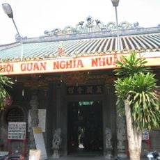
Guandi Temple
43.7 km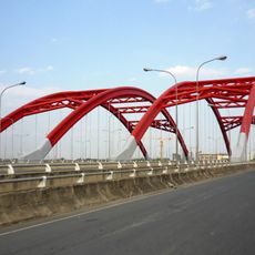
Ong Lon Bridge
40.6 km
Dragon Wharf - Ho Chi Minh Museum (HCMC Branch)
44.8 kmReviews
Visited this place? Tap the stars to rate it and share your experience / photos with the community! Try now! You can cancel it anytime.
Discover hidden gems everywhere you go!
From secret cafés to breathtaking viewpoints, skip the crowded tourist spots and find places that match your style. Our app makes it easy with voice search, smart filtering, route optimization, and insider tips from travelers worldwide. Download now for the complete mobile experience.

A unique approach to discovering new places❞
— Le Figaro
All the places worth exploring❞
— France Info
A tailor-made excursion in just a few clicks❞
— 20 Minutes