
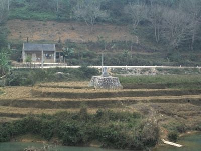
Hạ Lang, rural district of Cao Bang, Vietnam
Location: Cao Bằng
Elevation above the sea: 421 m
GPS coordinates: 22.68770,106.67089
Latest update: March 20, 2025 17:26

Ban Gioc–Detian Falls
19.5 km
Nui Coc Lake
159.3 km
Tam Đảo
169.7 km
Friendship Pass
79.3 km
Chùa Vĩnh Nghiêm
167.8 km
Ham Long Buddhist temple
181.4 km
Tam Dao National Park
174.2 km
Ba Bể National Park
113 km
Rock Paintings of Hua Mountain
58.9 km
Nguom Ngao Cave
17.9 km
Tra Linh checkpoint
41.1 km
Ka Long Bridge
185.6 km
Mount Yen Tu
170 km
Guangxi Finance Plaza
175.3 km
Nanning Mosque
169.3 km
Longbang Port
41.3 km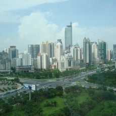
Diwang International Commerce Center
174.6 km
Ky Cung Bridge
93.6 km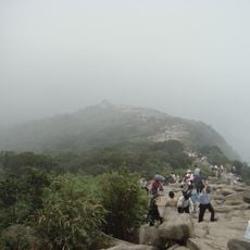
The Complex of Yen Tu Monuments and Landscape
179.4 km
Thanh Chuong Viet Palace
180.8 km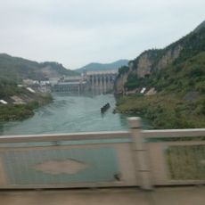
Yantan Dam
173.4 km
Vat Bridge
171.7 km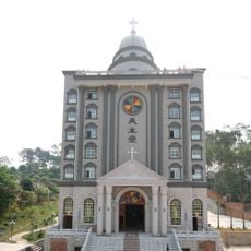
Cathedral of Our Lady of China
172 km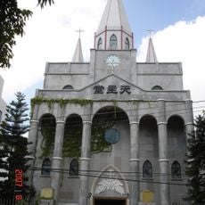
Église du Sacré-Cœur-de-Jésus de Nanning
172 km
Guangxi Zhuang Autonomous Region Museum
171.2 km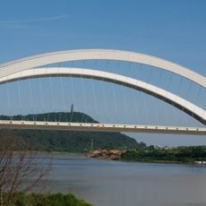
Nanning Bridge
174.6 km
Ha Giang provincial museum
173.9 km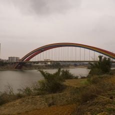
Yongjiang Bridge
186.5 kmReviews
Visited this place? Tap the stars to rate it and share your experience / photos with the community! Try now! You can cancel it anytime.
Discover hidden gems everywhere you go!
From secret cafés to breathtaking viewpoints, skip the crowded tourist spots and find places that match your style. Our app makes it easy with voice search, smart filtering, route optimization, and insider tips from travelers worldwide. Download now for the complete mobile experience.

A unique approach to discovering new places❞
— Le Figaro
All the places worth exploring❞
— France Info
A tailor-made excursion in just a few clicks❞
— 20 Minutes