
Lý Nhơn, Landgemeinde in Vietnam
Location: Cần Giờ
Elevation above the sea: 1 m
GPS coordinates: 10.45611,106.80250
Latest update: March 14, 2025 06:47
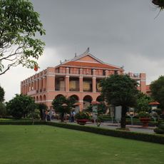
Dragon House
36.3 km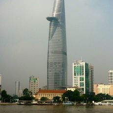
Bitexco Financial Tower
36.7 km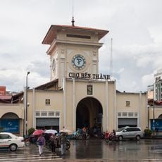
Bến Thành Market
37 km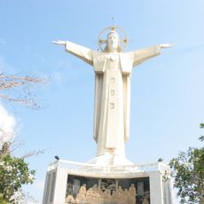
Christ of Vung Tau
34.1 km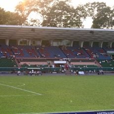
Thong Nhat Stadium
37.2 km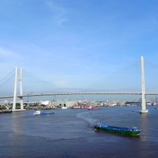
Phu My Bridge
32.8 km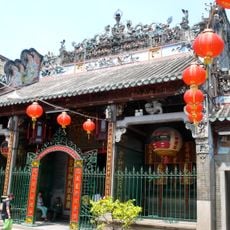
Thien Hau Temple
36.5 km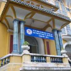
Ho Chi Minh City Museum of Fine Arts
36.6 km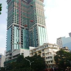
Saigon Times Square
37 km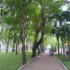
September 23 Park
36.8 km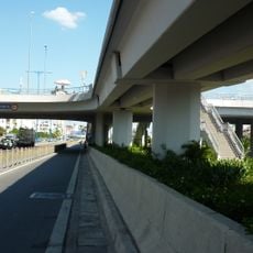
Cha Va Bridge
36.1 km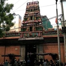
Mariamman Temple, Ho Chi Minh City
37.1 km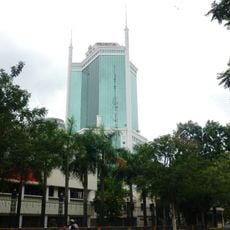
Saigon Trade Center
36.7 km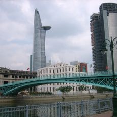
Mong Bridge
36.4 km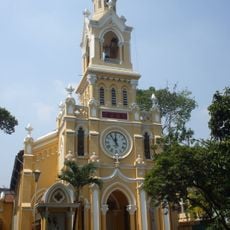
Jeanne d'Arc Church
36.6 km
Vietcombank Tower
37.2 km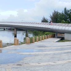
Ánh Sao Bridge
31.3 km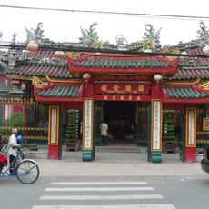
Quan Am Temple
36.7 km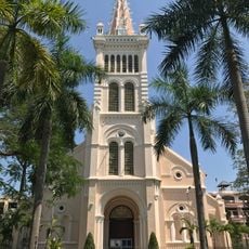
Sacred Heart Church
36.1 km
Rừng Sác Road
11.8 km
Nhi Thien Duong Bridge
35.6 km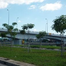
Nguyễn Tri Phương Bridge
35.8 km
Khanh Hoi Bridge
36.4 km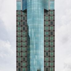
Sunwah Tower
37 km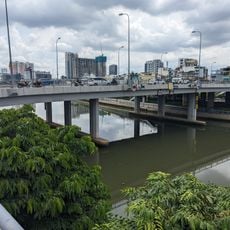
Calmette Bridge
36.2 km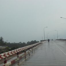
Cầu Ông Thìn
27 km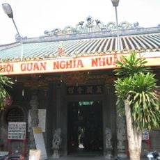
Guandi Temple
36.5 km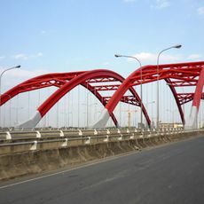
Ong Lon Bridge
32.7 kmReviews
Visited this place? Tap the stars to rate it and share your experience / photos with the community! Try now! You can cancel it anytime.
Discover hidden gems everywhere you go!
From secret cafés to breathtaking viewpoints, skip the crowded tourist spots and find places that match your style. Our app makes it easy with voice search, smart filtering, route optimization, and insider tips from travelers worldwide. Download now for the complete mobile experience.

A unique approach to discovering new places❞
— Le Figaro
All the places worth exploring❞
— France Info
A tailor-made excursion in just a few clicks❞
— 20 Minutes