Habur Zulaymah District, District of 'Amran Governorate, Yemen
Location: 'Amran Governorate
Elevation above the sea: 1,004 m
Shares border with: Al Qaflah District, Al Ashah District, As Sudah District, Suwayr District, Khamir District, Shaharah District, Al Maghrabah District
GPS coordinates: 16.00000,43.83333
Latest update: March 4, 2025 21:06
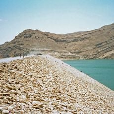
Marib Dam
165.4 km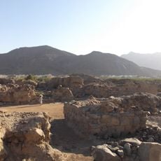
Al-Ukhdud
169.1 km
Ghumdan Palace
82.8 km
Dar al-Hajar
69.6 km
Jabal An-Nabi Shu'ayb
81.6 km
Al Saleh Mosque
85.1 km
Great Mosque of Sana'a
82.8 km
Fifa Mountains
160.4 km
Shaharah Bridge
24.8 km
قلعة الدوسرية
169.4 km
Yemen Gate
83 km
Najran Valley Dam
157.9 km
Sirwah
140.9 km
National Museum of Yemen
82.1 km
Jizan Dam
149.6 km
قلعة أبو عريش
151.8 km
Al-Bakiriyya Mosque
82.8 km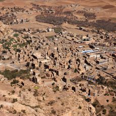
Shibam-Kawkaban
55 km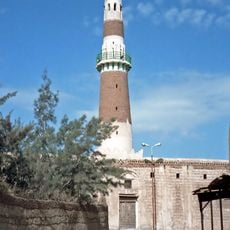
Al-Hadi Mosque
104.8 km
Al-Mahdi Mosque
82.5 km
Yemen Military Museum
82.3 km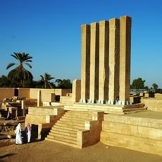
Kaminahu
96.3 km
Talha Mosque
82.6 km
Salah al-Din Mosque
82.6 km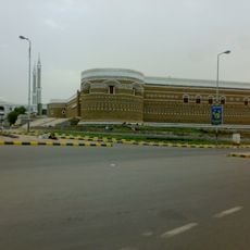
Al Hudayda Castle
165.3 km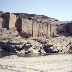
Ancient Dam of Ma’rib
167.3 km
Almaqah Temple
140.9 km
Bab Al-Yaman market
82.8 kmReviews
Visited this place? Tap the stars to rate it and share your experience / photos with the community! Try now! You can cancel it anytime.
Discover hidden gems everywhere you go!
From secret cafés to breathtaking viewpoints, skip the crowded tourist spots and find places that match your style. Our app makes it easy with voice search, smart filtering, route optimization, and insider tips from travelers worldwide. Download now for the complete mobile experience.

A unique approach to discovering new places❞
— Le Figaro
All the places worth exploring❞
— France Info
A tailor-made excursion in just a few clicks❞
— 20 Minutes