
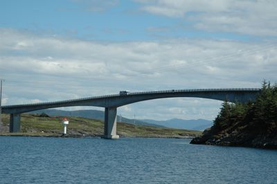
Ognasund bridge
Location: Bokn
Official opening: 1991
Length: 420 m
GPS coordinates: 59.25167,5.47278
Latest update: September 23, 2025 16:46
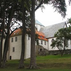
Utstein Abbey
17.9 km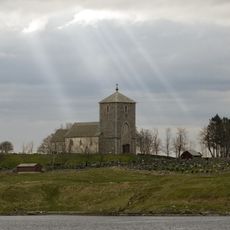
Church of Avaldsnes
15.5 km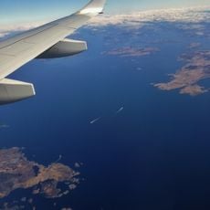
Boknafjord
10.1 km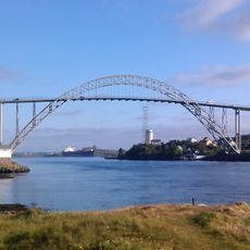
Karmsund Bridge
17.1 km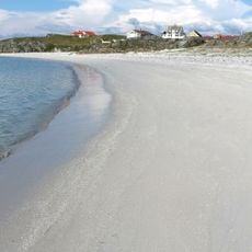
Åkra Beach
15.9 km
Førdesfjorden
13.5 km
Kopervik Church
10.1 km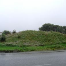
Grønhaug
16.8 km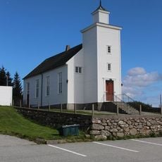
Ferkingstad Church
17.1 km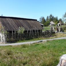
Vikinggarden Avaldsnes
14.8 km
Åkra Church
15.8 km
Norheim Church
17 km
Utstein Church
17.8 km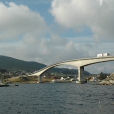
Boknasundbrua
3.3 km
Falnes Church
15.7 km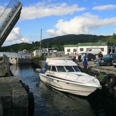
Skjoldafjorden
12.2 km
Kopervik Church
10.2 km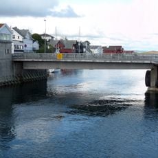
Strømsund bru
10.4 km
Vedavågen Church
14.6 km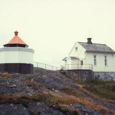
Phare de Skudenes
16.5 km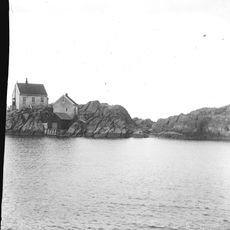
Phare de Vikeholmen
16.7 km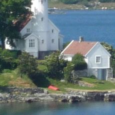
Høgevarde fyr
11.8 km
Tuastad bedehuskapell
12.2 km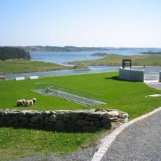
Nordvegen Historiesenter
15.4 km
Grønhaug
16.8 km
Fjøløyveien 49
18.5 km
Reheia
16.8 km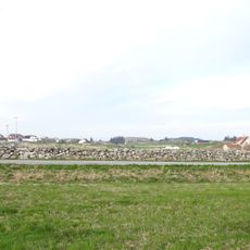
Ferkingstad
16.7 kmReviews
Visited this place? Tap the stars to rate it and share your experience / photos with the community! Try now! You can cancel it anytime.
Discover hidden gems everywhere you go!
From secret cafés to breathtaking viewpoints, skip the crowded tourist spots and find places that match your style. Our app makes it easy with voice search, smart filtering, route optimization, and insider tips from travelers worldwide. Download now for the complete mobile experience.

A unique approach to discovering new places❞
— Le Figaro
All the places worth exploring❞
— France Info
A tailor-made excursion in just a few clicks❞
— 20 Minutes