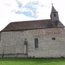
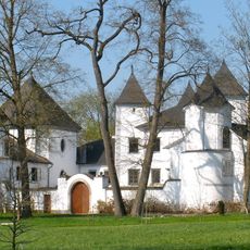
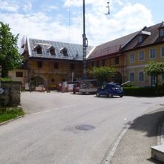
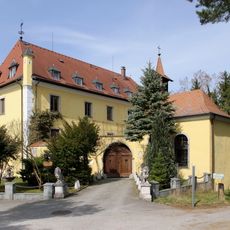
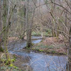
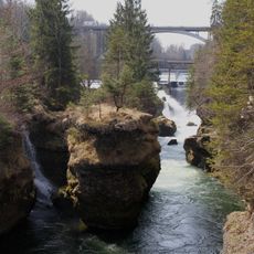
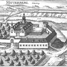
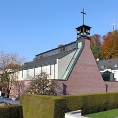
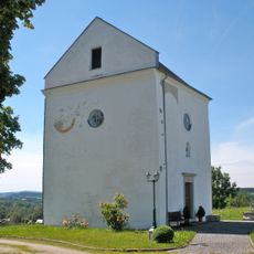
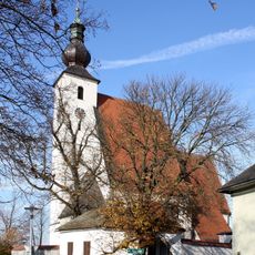
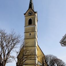
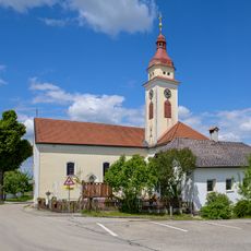
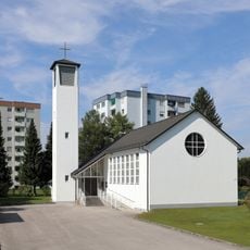
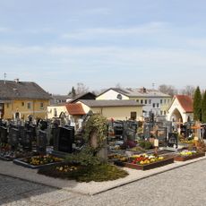
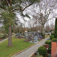
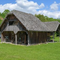
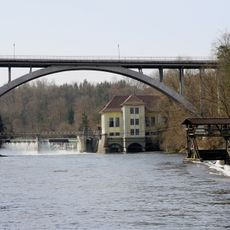
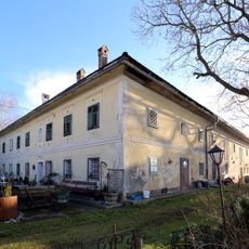
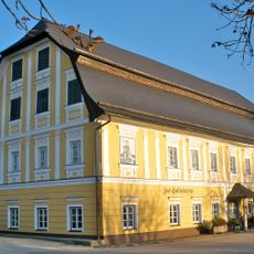
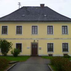
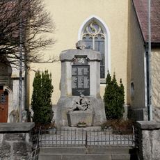
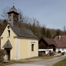
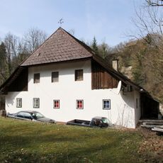
Roitham am Traunfall, municipality in Gmunden District, Upper Austria, Austria
Location: Gmunden District
Elevation above the sea: 424 m
Shares border with: Rüstorf, Stadl-Paura, Bad Wimsbach-Neydharting, Vorchdorf, Laakirchen, Desselbrunn
Email: gemeinde@roitham.ooe.gv.at
Website: http://roitham.at
GPS coordinates: 48.02528,13.82250
Latest update: March 31, 2025 11:23
Traunfall
2 km
Filialkirche Kößlwang
5.4 km
Schloss Windern
2.2 km
Schloss Lindach
3.4 km
Schloss Au an der Traun
342 m
Neydhartinger Moor
5.2 km
Traunschlucht
627 m
Schloss Mitterberg
3.4 km
Expositurkirche hl. Josef, Steyrermühl
3.9 km
Pfarrkirche Lindach
3.3 km
Schlosskapelle Mitterberg
2.8 km
Rustorf Parish Church
3.2 km
Pfarrkirche Roitham
135 m
Catholic branch church of St. Thomas of Canterbury
4.7 km
Evangelische Kirche Laakirchen
4.3 km
Friedhof christlich
117 m
Flößer-Kapelle
1.9 km
Friedhof mit Kapelle, Mauer und Torbauten
3.7 km
Freilichtmuseum Neydhartinger Troadkasten
5.5 km
Traunfallbrücke
2.2 km
Bauernhof (Anlage), Franz in Watzing/Andertes Gut zu Watzing Nr. 19 zu Außerpühret
1.4 km
Arbeiterheim Steyrermühl
3.9 km
Gasthaus, Schlosstaverne
2.3 km
Pfarrhof Rüstorf
3.2 km
Kriegerdenkmal
141 m
Chapelle Saint-Nicolas de Traunfall
1.9 km
Pfarrhof
92 m
Bürgerhaus, Klausmeisterhaus
1.8 kmReviews
Visited this place? Tap the stars to rate it and share your experience / photos with the community! Try now! You can cancel it anytime.
Discover hidden gems everywhere you go!
From secret cafés to breathtaking viewpoints, skip the crowded tourist spots and find places that match your style. Our app makes it easy with voice search, smart filtering, route optimization, and insider tips from travelers worldwide. Download now for the complete mobile experience.
A unique approach to discovering new places❞
— Le Figaro
All the places worth exploring❞
— France Info
A tailor-made excursion in just a few clicks❞
— 20 Minutes