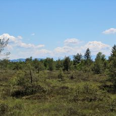
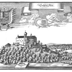
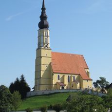
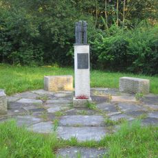
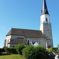
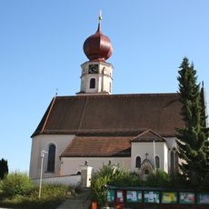
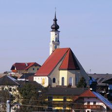
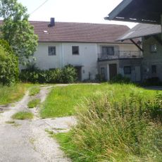
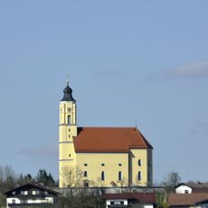
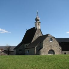
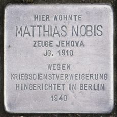
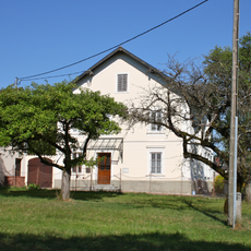
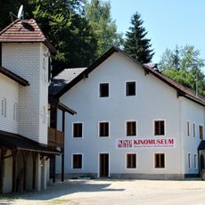
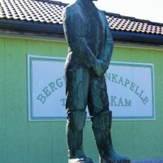
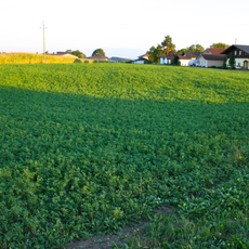
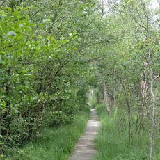
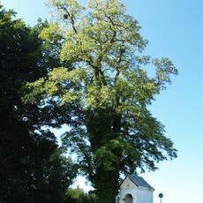
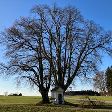
Franking, municipality in Braunau District, Upper Austria, Austria
Location: Braunau District
Elevation above the sea: 457 m
Shares border with: Geretsberg, Eggelsberg, Moosdorf, Sankt Georgen bei Salzburg, St. Pantaleon, Haigermoos
Email: gemeinde@franking.ooe.gv.at
Website: http://franking.ooe.gv.at
GPS coordinates: 48.05083,12.91378
Latest update: March 12, 2025 13:01
Ibmer Moor
3.2 km
Ibm Castle
4.1 km
Church of the Assumption (Eggelsberg)
6.5 km
Burgstall Holzöster
4 km
Weyer concentration camp
2.5 km
Saints Peter and Paul Church
2.5 km
Pfarrkirche Geretsberg
4.6 km
Mary Magdalene Church
248 m
Schloss Ofenwang
3.8 km
Pfarrkirche Moosdorf
5.5 km
Römische Villa Elling
5.7 km
Kath. Filialkirche hl. Nikolaus in Holzhausen
4.1 km
Viper Kapelle
5.7 km
Ortskapelle Ibm
4.1 km
Hellkapelle, Roding
5 km
Bauernhaus Treiber
970 m
Stolperstein dedicated to Matthias Nobis
4.4 km
Pfarrhof
4.8 km
Kinomuseum - Museum für Kino- und Fernsehtechnik
760 m
Bergmann-Denkmal Trimmelkam
4.7 km
Bajuwarisches Gräberfeld Sinzing
5 km
Pfeiferanger
3.6 km
Robinie in Witzling
1.3 km
Zwei Kapellenlinden von Fugging
4.7 km
Bundwerkstadel
1.1 km
Schmiedhaus
4.3 km
Gasthauslinde in Geretsberg
4.5 km
Eiche in Ernsting
4.6 kmReviews
Visited this place? Tap the stars to rate it and share your experience / photos with the community! Try now! You can cancel it anytime.
Discover hidden gems everywhere you go!
From secret cafés to breathtaking viewpoints, skip the crowded tourist spots and find places that match your style. Our app makes it easy with voice search, smart filtering, route optimization, and insider tips from travelers worldwide. Download now for the complete mobile experience.
A unique approach to discovering new places❞
— Le Figaro
All the places worth exploring❞
— France Info
A tailor-made excursion in just a few clicks❞
— 20 Minutes