
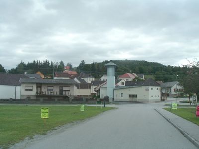
Burg, locality and cadastral community in Oberwart District
Location: Hannersdorf
Inception: 1244
Elevation above the sea: 274 m
GPS coordinates: 47.21500,16.40600
Latest update: May 13, 2025 19:49
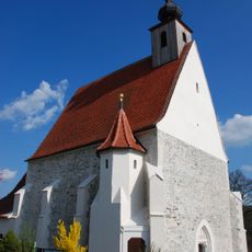
Pfarrkirche Hannersdorf
2.5 km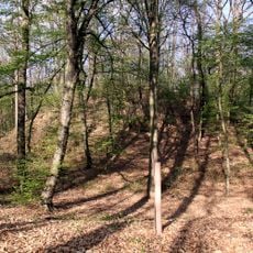
Hügelgräberfeld Schandorfer Wald
2 km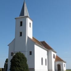
Saint James the Greater Church
4.2 km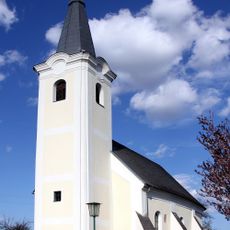
Pfarrkirche hl. Anna, Schandorf
3.1 km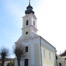
Holy Cross Church
3.4 km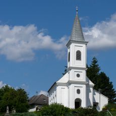
Filialkirche hl. Johannes der Täufer, Woppendorf
1.5 km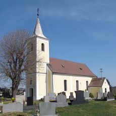
Saint Andrew Church
299 m
Bauernhof
3.4 km
Bauernhof
3.4 km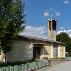
Evangelische Kirche Hannersdorf
2.6 km
Perlmühle Hannersdorf
812 m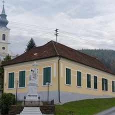
Ehem. Schule
3.4 km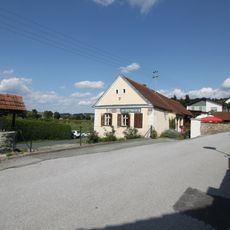
Burgenländisches Hochzeitsmuseum
2.9 km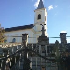
Woppendorf War Memorial
1.5 km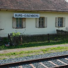
Aufnahmsgebäude Burg-Eisenberg
642 m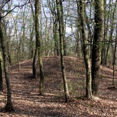
Hügelgräberfeld Bauernwald II
1.2 km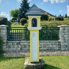
Bildstock Feldhäuser
3.3 km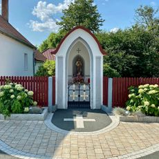
Bildstock Eisenbergerstraße, Badersdorf
3.2 km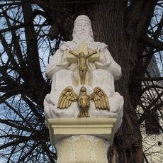
Gnadenstuhl Schandorf
3.1 km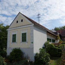
Bauernhaus
3.3 km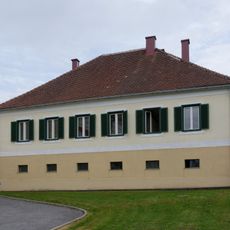
Ehem. Pfarrhof
3.4 km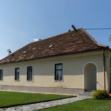
Pfarrhof Hannersdorf
2.5 km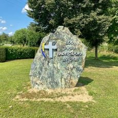
Gedenkstein 800 Jahre Badersdorf
3.3 km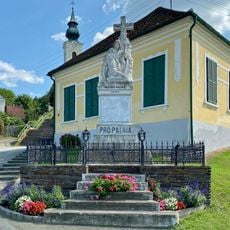
Kriegerdenkmal
3.4 km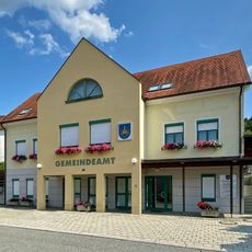
Badersdorf Municipal Office
3.4 km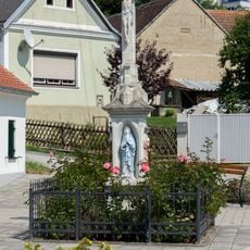
Cholerakreuz
1.6 km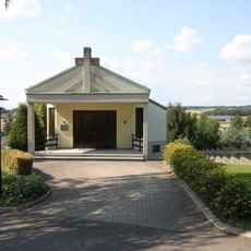
Badersdorf Mortuary
3 km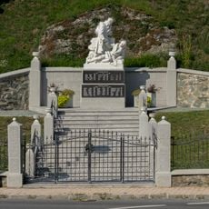
Hannersdorf War Memorial
2.5 kmVisited this place? Tap the stars to rate it and share your experience / photos with the community! Try now! You can cancel it anytime.
Discover hidden gems everywhere you go!
From secret cafés to breathtaking viewpoints, skip the crowded tourist spots and find places that match your style. Our app makes it easy with voice search, smart filtering, route optimization, and insider tips from travelers worldwide. Download now for the complete mobile experience.

A unique approach to discovering new places❞
— Le Figaro
All the places worth exploring❞
— France Info
A tailor-made excursion in just a few clicks❞
— 20 Minutes