
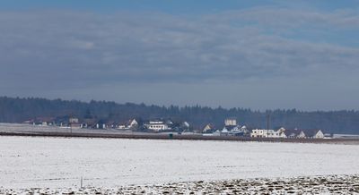
Breitenfeld am Tannenriegel, former municipality in Austria
Location: Schwarzautal
Elevation above the sea: 310 m
GPS coordinates: 46.84944,15.62986
Latest update: March 20, 2025 07:40
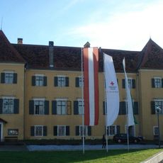
Schloss Laubegg
3.8 km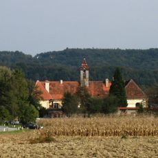
Schloss Rohr
4.2 km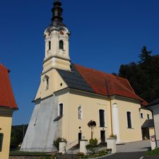
Pfarrkirche hl. Dionysius, Wolfsberg im Schwarzautal
2.4 km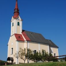
Kath. Pfarrkirche hl. Nikolaus
4.6 km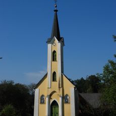
Ortskapelle
4.7 km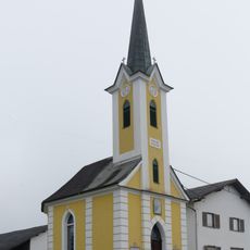
Ortskapelle
3.1 km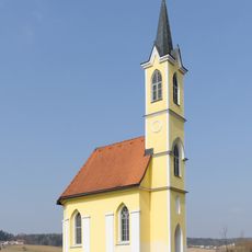
Messkapelle
4.6 km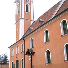
Kath. Pfarrkirche St. Georgen an der Stiefing
4.9 km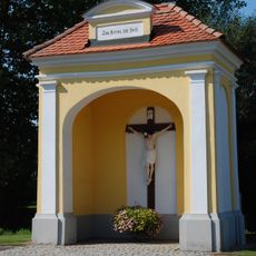
Flur-/Wegkapelle Absetzkreuz
2.1 km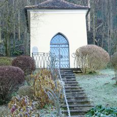
Flur-/Wegkapelle
2.4 km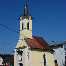
Ortskapelle
3.2 km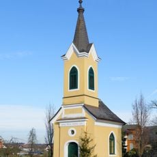
Ortskapelle
4.2 km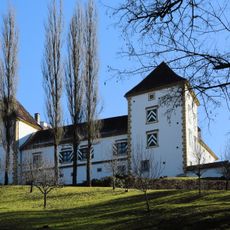
Schloss Frauheim
2.3 km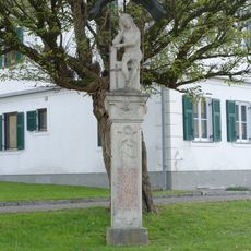
Figurenbildstock Schmerzensmann
2.3 km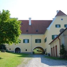
Pfarrhof Wolfsberg im Schwarzautal
2.4 km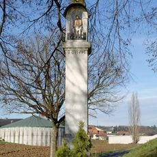
Bildstock Pestkreuz
4.7 km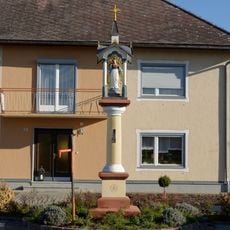
Figurenbildstock
4.4 km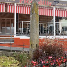
Pranger
4.8 km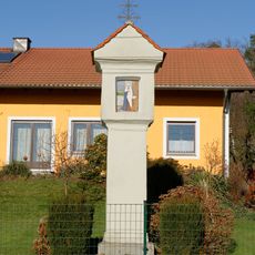
Bildstock Wegsäule
3 km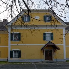
Pfarrhof
4.8 km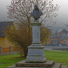
Büste Kaiser Franz Josef I.
2.2 km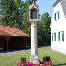
Bildstock Pestkreuz
2.1 km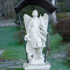
Figurenbildstock Erzengel
2.4 km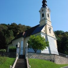
Stiegenaufgang mit Statuen Apostel Petrus und Paulus
2.4 km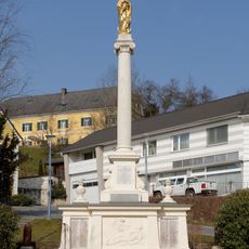
Mariensäule, Kriegerdenkmal
4.8 km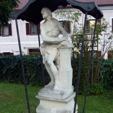
Figurenbildstock Christus an der Geißelsäule
4.9 km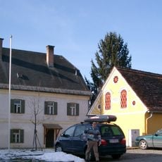
Ehem. Pfarrhof und Wirtschaftsgebäude
4.5 km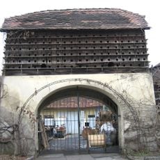
Taubenschlag
3.3 kmReviews
Visited this place? Tap the stars to rate it and share your experience / photos with the community! Try now! You can cancel it anytime.
Discover hidden gems everywhere you go!
From secret cafés to breathtaking viewpoints, skip the crowded tourist spots and find places that match your style. Our app makes it easy with voice search, smart filtering, route optimization, and insider tips from travelers worldwide. Download now for the complete mobile experience.

A unique approach to discovering new places❞
— Le Figaro
All the places worth exploring❞
— France Info
A tailor-made excursion in just a few clicks❞
— 20 Minutes