
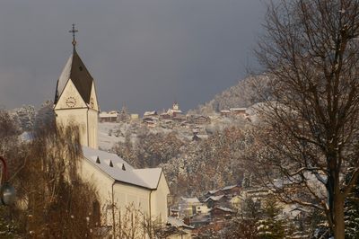
Sulz, municipality in Feldkirch District, Vorarlberg, Austria
Location: Feldkirch District
Elevation above the sea: 495 m
Email: info@gemeinde-sulz.at
Website: http://gemeinde-sulz.at
GPS coordinates: 47.28833,9.65333
Latest update: March 4, 2025 21:57
Carmelite convent in Rankweil
1.8 km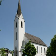
Pfarrkirche Weiler (Vorarlberg)
1.6 km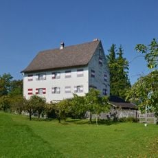
Ansitz Weißenberg
1.4 km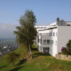
Bildungshaus Batschuns
1.3 km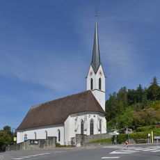
Pfarrkirche St. Martin
620 m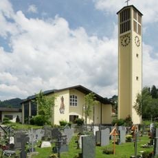
Pfarrkirche Hl. Fidelis (Muntlix)
750 m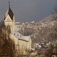
Pfarrkirche Hl. Georg
527 m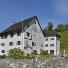
Gemeindeamt Röthis
813 m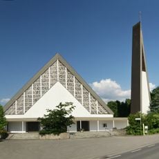
Kath. Filialkirche hl. Josef
1.8 km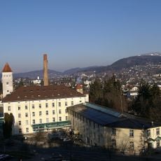
Gewerbepark
1.4 km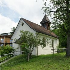
Kapelle hl. Sebastian (Zwischenwasser)
910 m
Rueff Textil, Zwischenwasser
1.2 km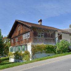
Wohnhaus
582 m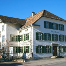
Freihof Sulz
538 m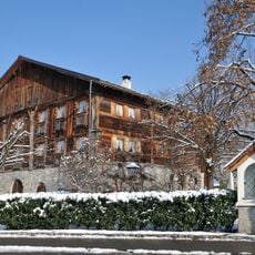
Schmidhaus
252 m
Rectory Jergenberg
468 m
Pfarramt
1.6 km
Pfarrheim
518 m
Volksschule
512 m
Pfarrhof
497 m
Johann Mark Lohn- und Handelsmühle
962 m
Armenhaus (Zwischenwasser)
1.2 km
Wohnhaus
1.7 km
Residence Hanenberg
1.8 km
Pfaffenkeller
1.2 km
Muehlbach
508 m
Wohnhaus, Notzerhof
649 m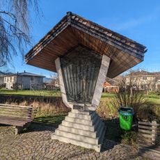
Bildstock in Weiler (Schwarzengasse)
1.8 kmReviews
Visited this place? Tap the stars to rate it and share your experience / photos with the community! Try now! You can cancel it anytime.
Discover hidden gems everywhere you go!
From secret cafés to breathtaking viewpoints, skip the crowded tourist spots and find places that match your style. Our app makes it easy with voice search, smart filtering, route optimization, and insider tips from travelers worldwide. Download now for the complete mobile experience.

A unique approach to discovering new places❞
— Le Figaro
All the places worth exploring❞
— France Info
A tailor-made excursion in just a few clicks❞
— 20 Minutes