
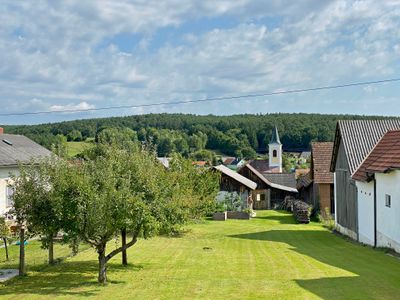
Rohrbach an der Teich, locality and cadastral community in Oberwart District
Location: Mischendorf
Elevation above the sea: 272 m
GPS coordinates: 47.21020,16.28480
Latest update: April 21, 2025 08:02
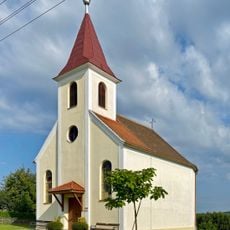
Kirche Neuhaus in der Wart
1.9 km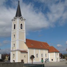
Pfarrkirche Mischendorf
2.7 km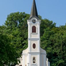
Kath. Pfarrkirche hl. Anna
3.3 km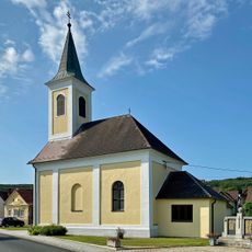
Filialkirche Christi Himmelfahrt, Rohrbach an der Teich
128 m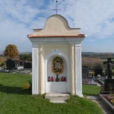
Friedhofskapelle
2.6 km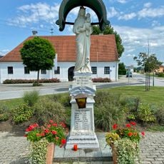
Marienstatue, Mischendorf
2.8 km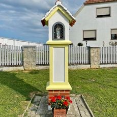
Bildstock Neuhaus in der Wart
1.4 km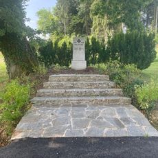
Kriegerdenkmal beim Friedhof Großbachselten
1.2 km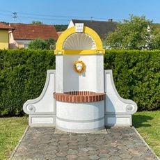
Brunnen vom Lehrbauhof Ost, Rohrbach an der Teich
132 m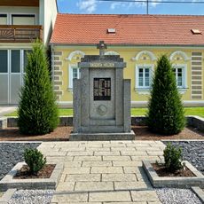
Großbachselten War Memorial
1.4 km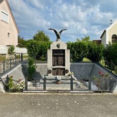
Neuhaus in der Wart War Memorial
1.8 km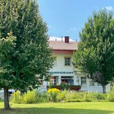
Gemeindeamt Mischendorf
2.8 km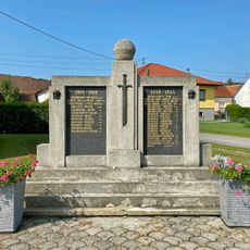
Rohrbach an der Teich War Memorial
130 m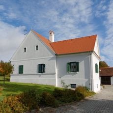
Alter röm.-kath. Pfarrhof
2.9 km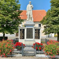
Mischendorf War Memorial
2.8 km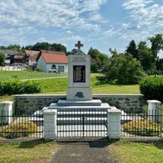
Kleinbachselten War Memorial
1.6 km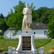
Jabing War Memorial
3.3 km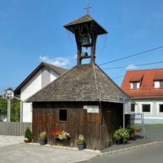
Glockenturm Kleinbachselten
1.6 km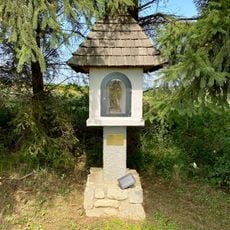
Hubertus-Marterl, Großbachselten
1.1 km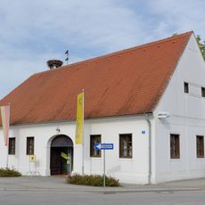
Altes Gemeindehaus - Stuhlrichterhof
2.8 km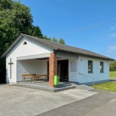
Rohrbach an der Teich Mortuary
322 m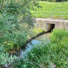
Lieslgraben
872 m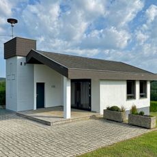
Neuhaus in der Wart Mortuary
1.4 km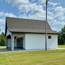
Kleinbachselten Mortuary
1.7 km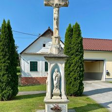
Amerikanerkreuz, Rohrbach an der Teich
135 m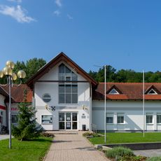
Gemeindeamt Jabing
3.2 km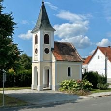
Ortskapelle Kleinbachselten
1.6 km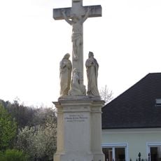
Amerikanerkreuz, Jabing
3.3 kmReviews
Visited this place? Tap the stars to rate it and share your experience / photos with the community! Try now! You can cancel it anytime.
Discover hidden gems everywhere you go!
From secret cafés to breathtaking viewpoints, skip the crowded tourist spots and find places that match your style. Our app makes it easy with voice search, smart filtering, route optimization, and insider tips from travelers worldwide. Download now for the complete mobile experience.

A unique approach to discovering new places❞
— Le Figaro
All the places worth exploring❞
— France Info
A tailor-made excursion in just a few clicks❞
— 20 Minutes