
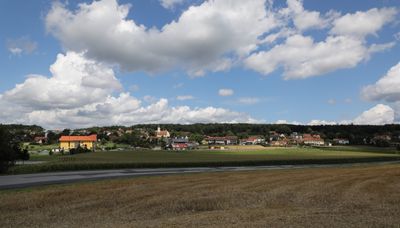
Sankt Johann in der Haide
Sankt Johann in der Haide, municipality in Hartberg-Fürstenfeld District, Styria, Austria
Location: Hartberg-Fürstenfeld District
Elevation above the sea: 387 m
Shares border with: Grafendorf bei Hartberg
Email: gde@st-johann-haide.gv.at
Website: http://st-johann-haide.steiermark.at
GPS coordinates: 47.28111,16.02472
Latest update: March 12, 2025 03:24
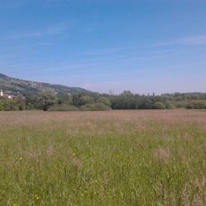
Hartberger Gmoos
3.8 km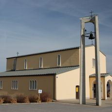
Filialkirche Markt Allhau
4.3 km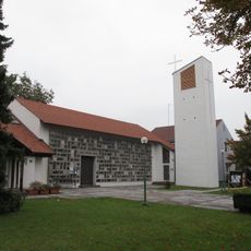
Jesus-Christus-Kirche
3.6 km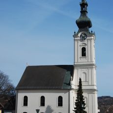
Evangelische Pfarrkirche Markt Allhau
4.5 km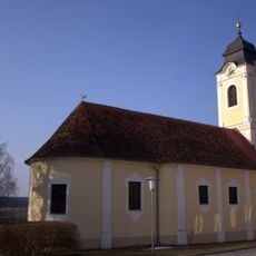
Saint John the Baptist Church
109 m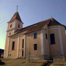
Saint Florian Church
4.2 km
Kath. Filialkirche Mariae Opferung
2.3 km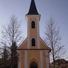
Kapelle Oberrohr
2.3 km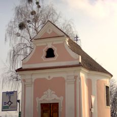
Rotkreuzkapelle, Hartberg
3.4 km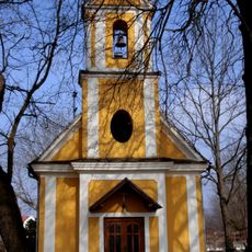
Ortskapelle Hl. Kreuz
4 km
Ortskapelle Unterlungitz
2.5 km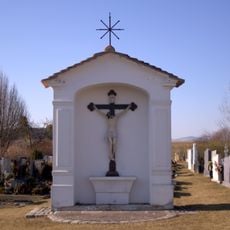
Friedhofskreuz
4.2 km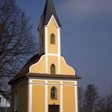
Ortskapelle
2.9 km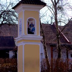
Bildstock
4.2 km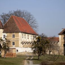
Château Klaffenau
2.1 km
Meierhof
2 km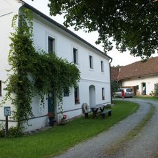
Alte Mühle – Mühlenkomplex (Mühlengebäude, Wohnhaus samt Wirtschaftstrakt)
5.1 km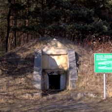
Einzelgrab der Röm. Kaiserzeit, Hügelgrab St. Johann in der Haide
1.5 km
Minibach
3.5 km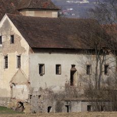
Former Saw Mill
2 km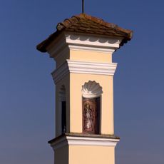
Tabernakelbildstock
3.7 km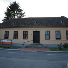
Schule
4.5 km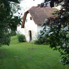
Kitting
5 km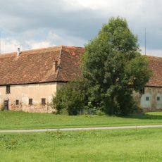
Wirtschaftshof
2 km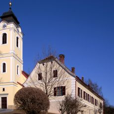
Pfarrhof
114 m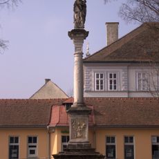
Pestsäule
3.8 km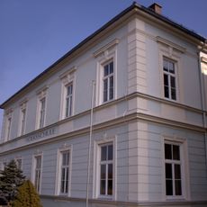
Volksschule
2.3 km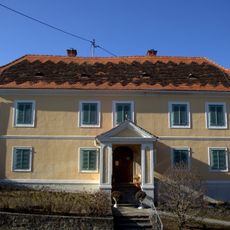
Pfarrhof
4.2 kmReviews
Visited this place? Tap the stars to rate it and share your experience / photos with the community! Try now! You can cancel it anytime.
Discover hidden gems everywhere you go!
From secret cafés to breathtaking viewpoints, skip the crowded tourist spots and find places that match your style. Our app makes it easy with voice search, smart filtering, route optimization, and insider tips from travelers worldwide. Download now for the complete mobile experience.

A unique approach to discovering new places❞
— Le Figaro
All the places worth exploring❞
— France Info
A tailor-made excursion in just a few clicks❞
— 20 Minutes