
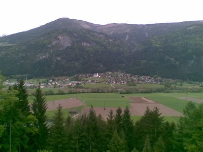
Weißenstein, municipality in Villach-Land District, Carinthia, Austria
Location: Villach-Land District
Elevation above the sea: 559 m
Shares border with: Paternion, Fresach, Treffen, Villach, Bad Bleiberg
Email: weissenstein@ktn.gde.at
Website: http://weissenstein.gv.at
GPS coordinates: 46.68222,13.72361
Latest update: March 9, 2025 11:45
Pfarrkirche Feistritz an der Drau
5.3 km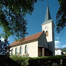
Protestant church Fresach
4.3 km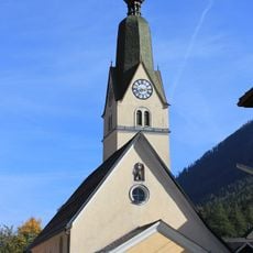
Pfarrkirche Hl Florian
7 km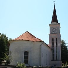
Evangelische Pfarrkirche Feffernitz
2.8 km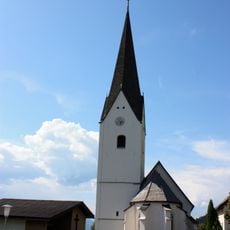
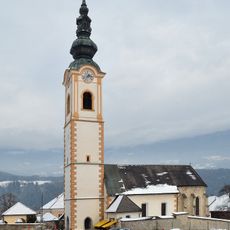
Pfarrkirche St. Leonhard in Weißenstein
283 m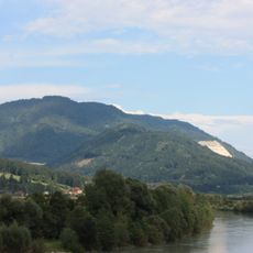
Wollanigberg
7.1 km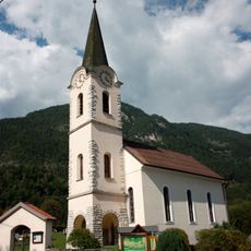
Protestant Church
3.9 km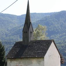
Filialkirche hl. Gotthart in Lansach, Weißenstein
1.5 km
Stadtgörz
5.3 km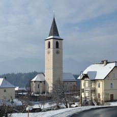
Pfarrkirche hl. Blasius, Fresach
4.1 km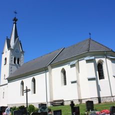
Pfarrkirche St Ulrich in Kellerberg
1.4 km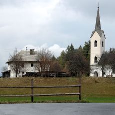
Kath. Pfarrkirche hl. Dreifaltigkeit
5.5 km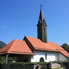
Saint Lambertus Church
3.8 km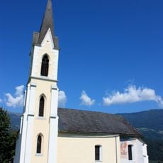
Kapelle Unserer Lieben Frau am Bichl, Feistritz an der Drau, Paternion
5.4 km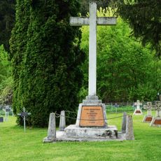
Flüchtlingsfriedhof Feffernitz
3.7 km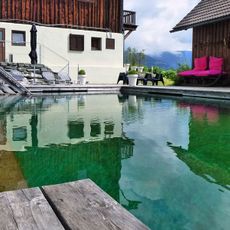
Art-lodge
6.6 km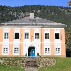
Gemeindeamt
7 km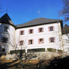
Schloss Kellerberg
1.6 km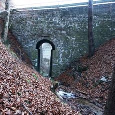
Teichbachbrücke, Kellerberg
1.7 km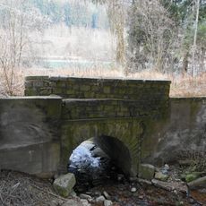
Rauscherbachbrücke, Töplitsch
7.2 km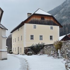
Pfarrhof Weißenstein, Carinthia
289 m
Dorfstraße 26, Fresach
4.3 km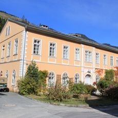
Alte Volksschule
6.9 km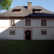
Altes evangelisches Pfarrhaus und Gerätekammer
4.3 km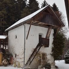
Auerkasten
1.9 km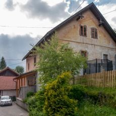
Ehem. Gewerkenhaus, Perscha Wastl
6.9 km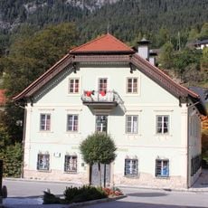
Gewerkenhaus Mühlbacher
7 km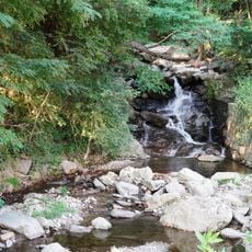
Weirererbach
2.5 kmVisited this place? Tap the stars to rate it and share your experience / photos with the community! Try now! You can cancel it anytime.
Discover hidden gems everywhere you go!
From secret cafés to breathtaking viewpoints, skip the crowded tourist spots and find places that match your style. Our app makes it easy with voice search, smart filtering, route optimization, and insider tips from travelers worldwide. Download now for the complete mobile experience.

A unique approach to discovering new places❞
— Le Figaro
All the places worth exploring❞
— France Info
A tailor-made excursion in just a few clicks❞
— 20 Minutes