
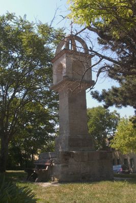
Türkenkreuz Perchtoldsdorf, Bildstock in Perchtoldsdorf (103527)
Location: Perchtoldsdorf
Address: Brunner Gasse 57
GPS coordinates: 48.11455,16.27254
Latest update: October 17, 2025 10:40
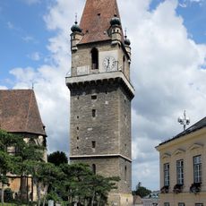
Wehrturm
798 m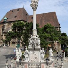
Dreifaltigkeitssäule Perchtoldsdorf
761 m
Perchtoldsdorf Kreuzweg Hochberg
579 m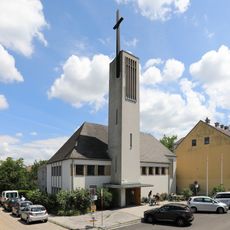
Christ-Königs-Kirche, Perchtoldsdorf
546 m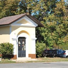
Wegkapelle Vesperkreuzstraße
625 m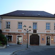
Apothekerhaus
730 m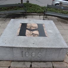
Türkengedenkstein Perchtoldsdorf
721 m
Hugo-Wolf-Haus, Montserrater Hof
418 m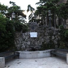
Kaiser Franz-Joseph Jubiläums-Brunnen Perchtoldsdorf
783 m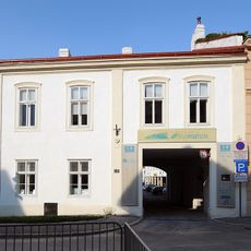
Ehem. Lichteneckerhof
524 m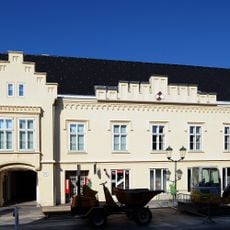
Former Stadtburg Ottos II., Perchtoldsdorf
668 m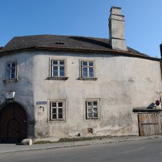
Gottschall-Haus Perchtoldsdorf
621 m
Bürgerhaus
508 m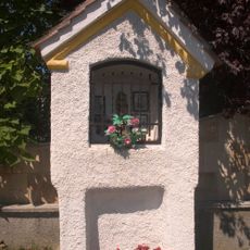
Bildstock Kunigundenbergstraße, Perchtoldsdorf
254 m
Wallgraben
710 m
Regenharthaus
780 m
Bürgerhaus
536 m
Pfarrhof mit ehem. Befestigungsanlagen
710 m
Bäckerhaus/Wagnerhaus
586 m
Hauerhaus
674 m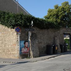
Teilabschnitt der Stadtmauer beim Bäckerhaus/Wagnerhaus
563 m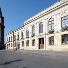
Gemeindeamt Perchtoldsdorf
729 m
Strenningerhof
786 m
Bürgerhaus
702 m
Bürgerhaus
529 m
Scharingerhof, Knochenhof, Mühle am Holzertor
695 m
Wegbachhaus
569 m
Brunner Gasse 58
27 mVisited this place? Tap the stars to rate it and share your experience / photos with the community! Try now! You can cancel it anytime.
Discover hidden gems everywhere you go!
From secret cafés to breathtaking viewpoints, skip the crowded tourist spots and find places that match your style. Our app makes it easy with voice search, smart filtering, route optimization, and insider tips from travelers worldwide. Download now for the complete mobile experience.

A unique approach to discovering new places❞
— Le Figaro
All the places worth exploring❞
— France Info
A tailor-made excursion in just a few clicks❞
— 20 Minutes