
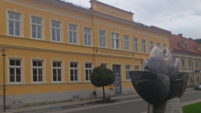
Gemeindeamt Sankt Lambrecht, building in Sankt Lambrecht, Austria
Location: Sankt Lambrecht
Address: Hauptstraße 12
GPS coordinates: 47.06960,14.29933
Latest update: April 6, 2025 00:37
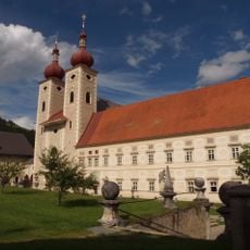
St. Lambert's Abbey
235 m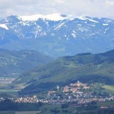
Grebenzen
4.2 km
Stiftskirche St. Lambrecht
307 m
Maria Schönanger
2.7 km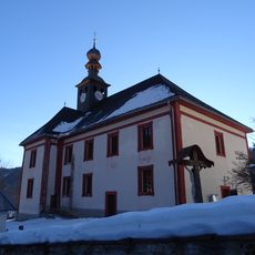
Filialkirche hl. Blasius, Sankt Blasen
2.7 km
Pfarrkirche Zeutschach
5.2 km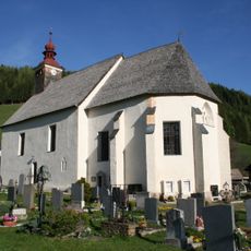
Filialkirche hl. Laurentius, Heiligenstadt, St. Lambrecht
1.7 km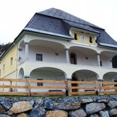
Bauernhaus, Hofkapelle Heiligenstadt
1.8 km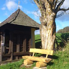
Wegkapelle, Schönes Kreuz
1.3 km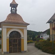
Marktkreuz Sankt Lambrecht
209 m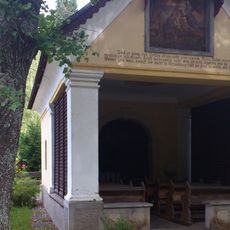
Wieskreuzkapelle
1.6 km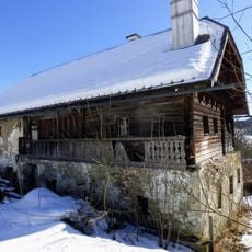
Vulgo Taferner, St. Blasen
5.1 km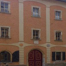
Altes Brauhaus, Sankt Lambrecht
111 m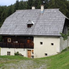
Bauernhof (Anlage) vulgo Oberer Waldbauer
3.2 km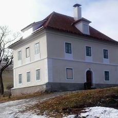
Bauernhaus Kaltenhof
390 m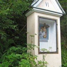
Kreuzweg
1.4 km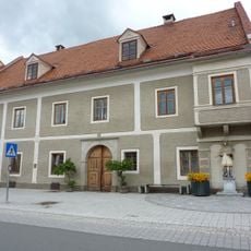
Sankt Lambrecht Hauptstraße 11
27 m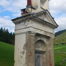
Bildstock, Vordermoarkreuz
1.8 km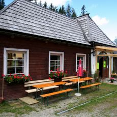
Gasthaus, ehem. Schönangerkapelle
2.7 km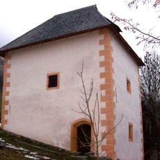
Speicherstöckl Stoaner
3.1 km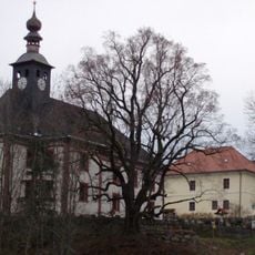
Former school, Sankt Blasen
2.7 km
Muhrenteich
4.9 km
Stallgebäude Alexanderhof, St Lambrecht
478 m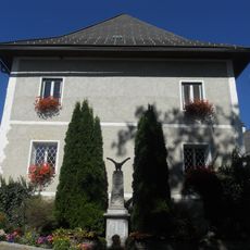
Pfarrhof
5.2 km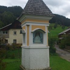
Bildstock
379 m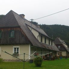
NS-Stiftssiedlung
946 m
Hofmühle
708 m
Schwaighof
561 mReviews
Visited this place? Tap the stars to rate it and share your experience / photos with the community! Try now! You can cancel it anytime.
Discover hidden gems everywhere you go!
From secret cafés to breathtaking viewpoints, skip the crowded tourist spots and find places that match your style. Our app makes it easy with voice search, smart filtering, route optimization, and insider tips from travelers worldwide. Download now for the complete mobile experience.

A unique approach to discovering new places❞
— Le Figaro
All the places worth exploring❞
— France Info
A tailor-made excursion in just a few clicks❞
— 20 Minutes