
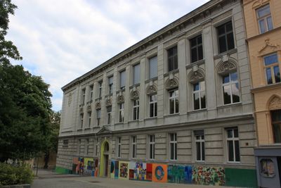
Volksschule, building in Währing, Austria
Location: Währing
Address: Bischof-Faber-Platz 1
GPS coordinates: 48.23378,16.32472
Latest update: March 17, 2025 19:34
Semmelweis Frauen-Klinik
441 m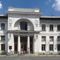
Wien Gersthof
421 m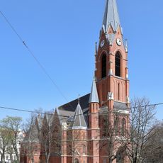
Gersthofer Pfarrkirche
73 m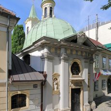
Johannes Nepomuk chapel
577 m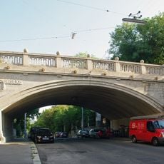
Dürwaringbrücke
542 m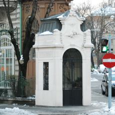
Johannes Nepomuk chapel
262 m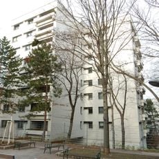
Pablo-Neruda-Hof
582 m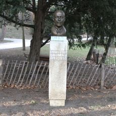
Emmerich Kálmán monument, Türkenschanzpark
422 m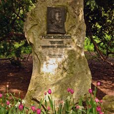
Franz Marschner monument, Türkenschanzpark
413 m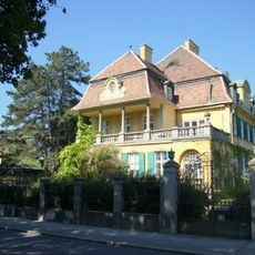
Villa/Landhaus
570 m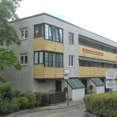
Am Sandberg
530 m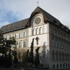
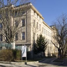
School Marianum, Gersthof, Vienna
569 m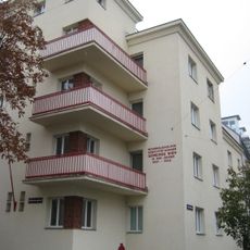
Wohnhausanlage Schöffelgasse 69
140 m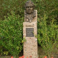
Leon Askin monument, Türkenschanzpark
471 m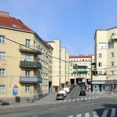
Rudolf-Sigmund-Hof
174 m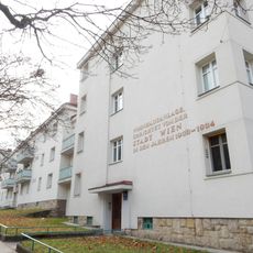
Wohnhausanlage der Gemeinde Wien Erndtgasse 34-36
257 m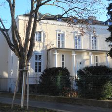
Former Haus Arnold
470 m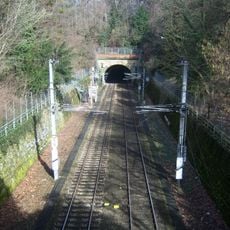
Eisenbahnstrecke, Wiener Vorortelinie – Teilbereich Währing
383 m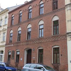
Pfarrhof
109 m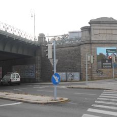
Eisenbahnstrecke, Wiener Vorortelinie – Teilbereich Weinhaus
543 m
Herbeckstraße 98
512 m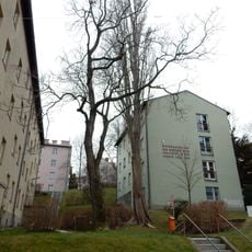
Ernst-Karl-Winter-Hof
425 m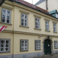
Gersthofer Straße 131
591 m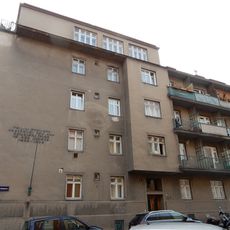
Wohnhausanlage der Gemeinde Wien Hockegasse 9
172 m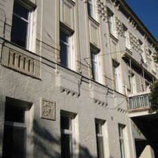
Herbeckstraße 88-90
463 m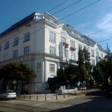
Miethaus Messerschmidtgasse 48
328 m
Gersthofer Straße 127
555 m
Wohn- und Bürohaus Thimiggasse 19
383 mVisited this place? Tap the stars to rate it and share your experience / photos with the community! Try now! You can cancel it anytime.
Discover hidden gems everywhere you go!
From secret cafés to breathtaking viewpoints, skip the crowded tourist spots and find places that match your style. Our app makes it easy with voice search, smart filtering, route optimization, and insider tips from travelers worldwide. Download now for the complete mobile experience.

A unique approach to discovering new places❞
— Le Figaro
All the places worth exploring❞
— France Info
A tailor-made excursion in just a few clicks❞
— 20 Minutes