
Römisches Gräberfeld und Siedlung, building in Sankt Kanzian am Klopeiner See, Austria
Location: Sankt Kanzian am Klopeiner See
Address: Nad Lessam
GPS coordinates: 46.62411,14.60032
Latest update: March 6, 2025 06:16
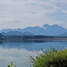
Völkermarkter Stausee
3.2 km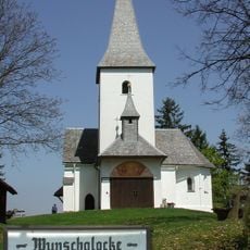
Georgiberg, Sankt Kanzian
2.4 km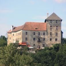
Burg Neudenstein
2.6 km
Gracarca
2.9 km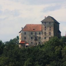
Burg Neudenstein
2.6 km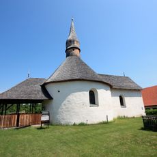
Magdalenenkirche
1.2 km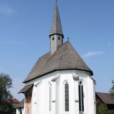
Kirche Srejach
155 m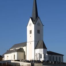
Pfarrkirche Sankt Kanzian am Klopeiner See
2 km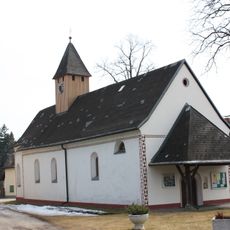
Pfarrkirche hl. Ägidius, Kühnsdorf, Eberndorf
2.5 km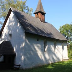
Klopein Kirche
1.7 km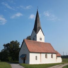
Buchbrunn Kirche
2.9 km
Strandbad Bellevue Alm
2 km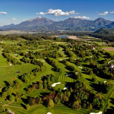
Golfpark Klopeinersee
4 km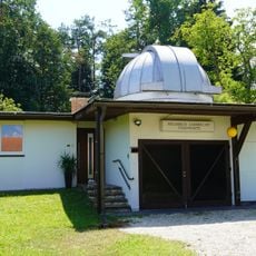
Helmrich-Lambrecht-Sternwarte
2.4 km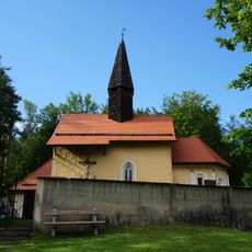
Filialkirche hl. Daniel, Grabelsdorf
3.1 km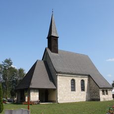
Kirche St Lorenzen
895 m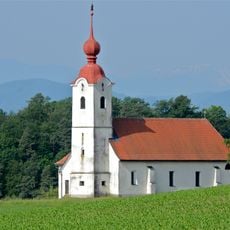
Filialkirche Heiliger Ulrich, Neudenstein
2.8 km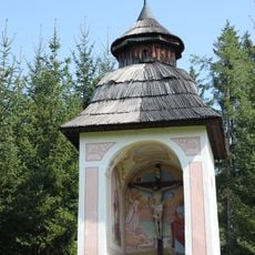
Kapelle Peratschitzen
781 m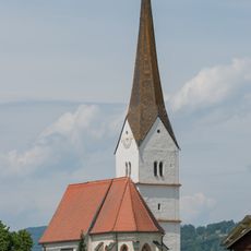
Filialkirche hl. Markus, Sankt Marxen (Sankt Kanzian)
1.9 km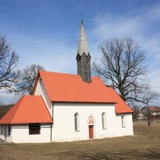
Church of Mökriach
3.9 km
Aufbahrungshalle St. Kanzian am Klopeinersee
2 km
Schloss Höhenbergen
4.2 km
Burgfriedsäule Rakollach
2.6 km
Volksschule in Sankt Kanzian am Klopeiner See
2.3 km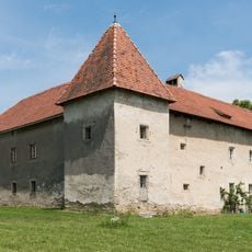
Schloss Wasserhofen, Sankt Kanzian am Klopeiner See
999 m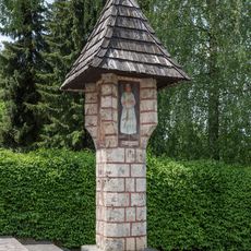
Lobisserbildstock in Kühnsdorf
2.6 km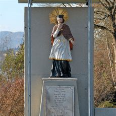
Figur hl. Johannes Nepomuk
4.1 km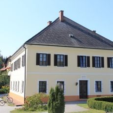
Pfarrhof
2.1 kmReviews
Visited this place? Tap the stars to rate it and share your experience / photos with the community! Try now! You can cancel it anytime.
Discover hidden gems everywhere you go!
From secret cafés to breathtaking viewpoints, skip the crowded tourist spots and find places that match your style. Our app makes it easy with voice search, smart filtering, route optimization, and insider tips from travelers worldwide. Download now for the complete mobile experience.

A unique approach to discovering new places❞
— Le Figaro
All the places worth exploring❞
— France Info
A tailor-made excursion in just a few clicks❞
— 20 Minutes