
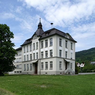
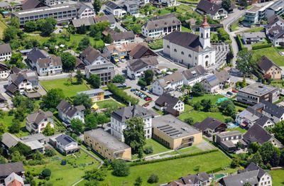
Volksschule Satteins, building in Satteins, Austria
Location: Satteins
Address: Schulplatz 5
GPS coordinates: 47.22497,9.67024
Latest update: March 2, 2025 23:04
Pfarrkirche Hl. Sulpitius
3.1 km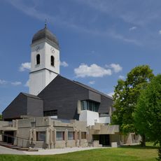
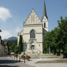
Pfarrkirche Hl. Luzius
3.1 km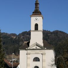
Pfarrkirche hl. Georg, Satteins
145 m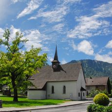
Annakapelle (Schlins)
3.1 km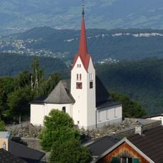
Pfarrkirche Hl. Bartholomäus
3.1 km
Kapelle Maria Schnee
3 km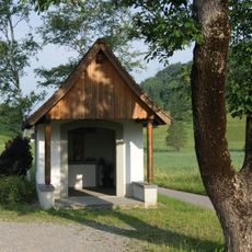
Kapelle Hauptmannsbild
1.1 km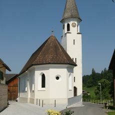
Filialkirche hl. Magnus
2.4 km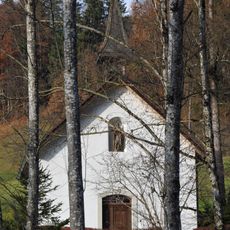
Lourdeskapelle „beim Bild“, Satteins
751 m
Steinrelief am Friedhofaufgang
3.1 km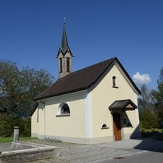
Kapelle Anderhalden
3 km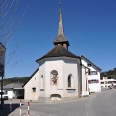
Kapelle hl. Sebastian
166 m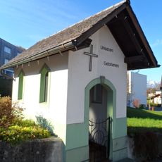
Kriegergedächtniskapelle
2.7 km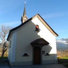
Kapelle Maria Krönung
2.4 km
Weihwasserbrunnen, Brunnenplastik von Herbert Albrecht
3.1 km
Bildstock
3 km
Kath. Pfarrkirche hl. Luzius (Chor und Turm)
3.1 km
Bildstock, Pardellenbild
2.4 km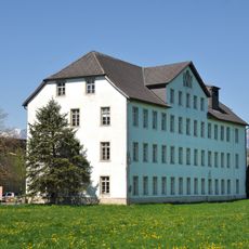
J. M. Fussenegger Fabrik
851 m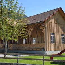
Tanzhalle, Kirchstrasse Satteins
245 m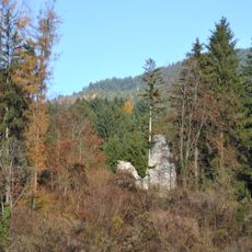
Ruine Schwarzenhorn
670 m
Pfarrhof Übersaxen
3.1 km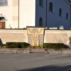
Kriegerdenkmal
140 m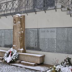
Kriegerdenkmal
3.1 km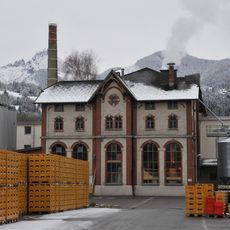
Vorarlberger Brauereigenossenschaft Frastanz
2.6 km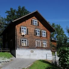
Ehem. Volksschule
2.9 km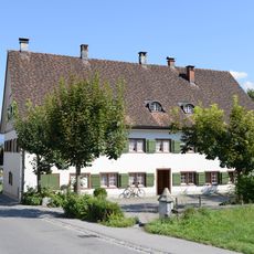
Ehem. Gasthof Adler
2.9 km
Frühmeßhaus
3.1 kmVisited this place? Tap the stars to rate it and share your experience / photos with the community! Try now! You can cancel it anytime.
Discover hidden gems everywhere you go!
From secret cafés to breathtaking viewpoints, skip the crowded tourist spots and find places that match your style. Our app makes it easy with voice search, smart filtering, route optimization, and insider tips from travelers worldwide. Download now for the complete mobile experience.

A unique approach to discovering new places❞
— Le Figaro
All the places worth exploring❞
— France Info
A tailor-made excursion in just a few clicks❞
— 20 Minutes