
Frühmittelalterliches Gräberfeld "Am Stein"
Location: Micheldorf in Oberösterreich
GPS coordinates: 47.87096,14.13444
Latest update: April 11, 2025 18:27
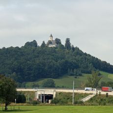
Georgenberg
413 m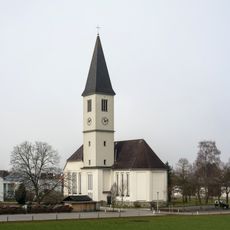
Pfarrkirche hl. Josef, Mittermicheldorf
702 m
Sensenschmiede an der Zinne
556 m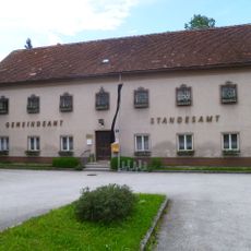
Schloss Inzersdorf im Kremstal
732 m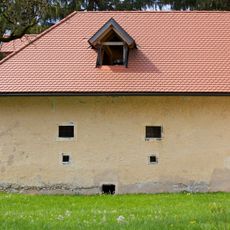
Pfusterkreuz
374 m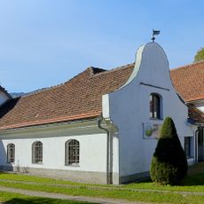
Steinhuberhammer
1.1 km
Sensenschmiede unter der Linde
477 m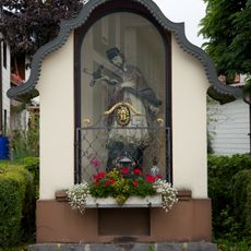
Johannes-Kapelle
685 m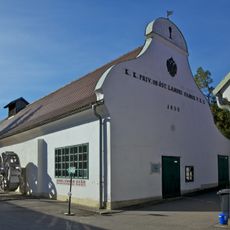
Gradnhammer
711 m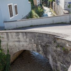
Brücke
563 m
Pfusterkreuz
456 m
Haindl-Kapelle
459 m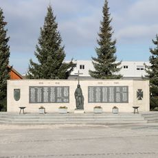
Kriegerdenkmal Micheldorf
712 m
Garten
460 m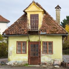
Waag
554 m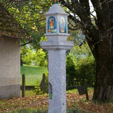
Bildstock
209 m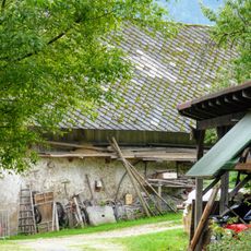
Stall bei der Sensenschmiede unter der Linde
479 m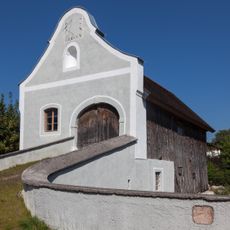
Kohlboden
580 m
Herrenhaus
394 m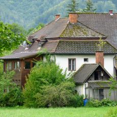
Nebengebäude des ehem. Sensenwerkes Oberhaindl
519 m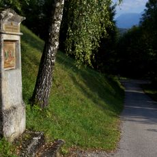
Georgiberg Kreuzweg, Micheldorf
333 m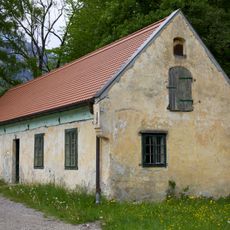
Pfusterhammerl
502 m
Wohnhaus
546 m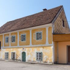
Schmiedhaus
522 m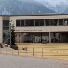
Rathaus Marktgemeinde Micheldorf
835 m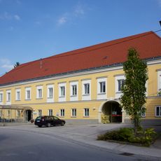
Ehem. Gasthaus Zur Sense, ehem. Hoftaverne
584 m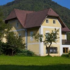
Herrenhaus
496 m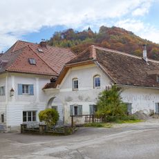
Ehem. Herrenhaus
527 mReviews
Visited this place? Tap the stars to rate it and share your experience / photos with the community! Try now! You can cancel it anytime.
Discover hidden gems everywhere you go!
From secret cafés to breathtaking viewpoints, skip the crowded tourist spots and find places that match your style. Our app makes it easy with voice search, smart filtering, route optimization, and insider tips from travelers worldwide. Download now for the complete mobile experience.

A unique approach to discovering new places❞
— Le Figaro
All the places worth exploring❞
— France Info
A tailor-made excursion in just a few clicks❞
— 20 Minutes