
Buch am Buchrain, municipality of Germany
Location: Erding
Elevation above the sea: 533 m
Part of: Verwaltungsgemeinschaft Pastetten
Website: https://buchambuchrain.de
GPS coordinates: 48.21667,12.00000
Latest update: March 9, 2025 01:30
Pfarrkirche Mariä Himmelfahrt
3.2 km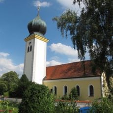
St. Michael
3.2 km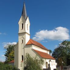
St. Ulrich
3.1 km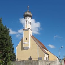
St. Stephanus
3.7 km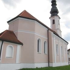
St. Sylvester
3.1 km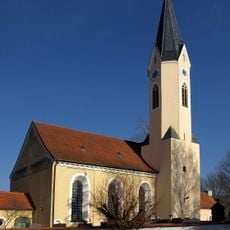
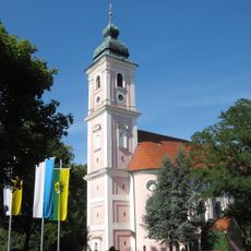
Katholische Pfarrkirche St. Peter
3.9 km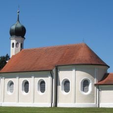
Hl. Kreuz
1.7 km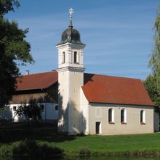
Saint Pancratius Church
3.8 km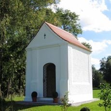
Kapelle Heilig Geist
3.9 km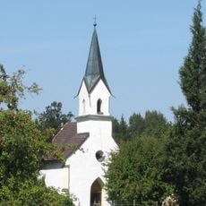
Hofkapelle
3.3 km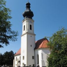
St. Martin
261 m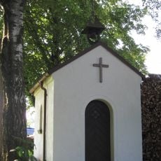
Kapelle
3.8 km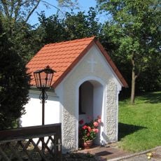
Marienkapelle
3.2 km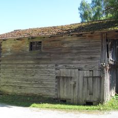
Stadel und Getreidekasten
3.8 km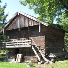
Ehemaliger Getreidekasten
2.4 km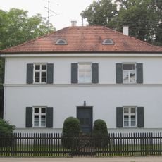
Ehemaliges Pfarrhaus
3.2 km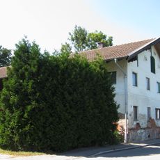
Wohnstallhaus eines Hakenhofes
799 m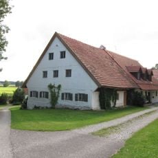
Bauernhaus
3.9 km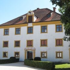
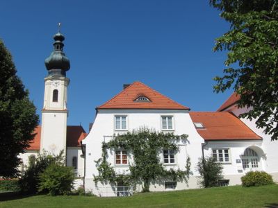
Ehemaliger Pfarrhof
430 m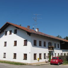
Parallelhof
1.6 km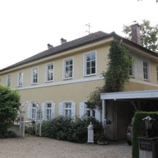
Ehemaliges Schulhaus
3.2 km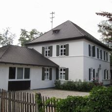
Ehemaliges Arzthaus
3.2 km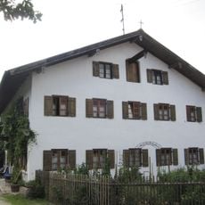
Bauernhaus
3.2 km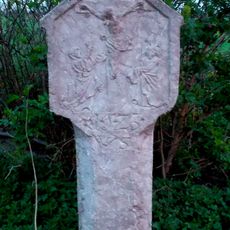
Bildstock
2.9 km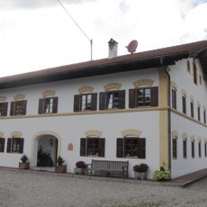
Bauernhof
3.2 km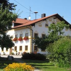
Ehemaliger Wohnteil eines Hakenhofes
431 m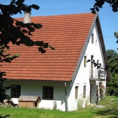
Wohnteil eines Einfirsthofes
1.1 km
Ehemaliges Gerberhaus
4 kmReviews
Visited this place? Tap the stars to rate it and share your experience / photos with the community! Try now! You can cancel it anytime.
Discover hidden gems everywhere you go!
From secret cafés to breathtaking viewpoints, skip the crowded tourist spots and find places that match your style. Our app makes it easy with voice search, smart filtering, route optimization, and insider tips from travelers worldwide. Download now for the complete mobile experience.

A unique approach to discovering new places❞
— Le Figaro
All the places worth exploring❞
— France Info
A tailor-made excursion in just a few clicks❞
— 20 Minutes