
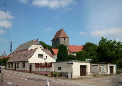
Beesenlaublingen, human settlement in Germany
Location: Könnern
Elevation above the sea: 71 m
GPS coordinates: 51.71056,11.69500
Latest update: August 23, 2025 19:17
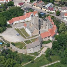
Schloss Plötzkau
3.8 km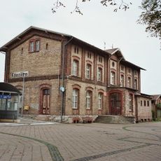
Könnern station
7.1 km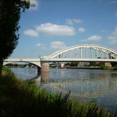
Saalebrücke Alsleben
1.3 km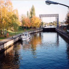
Schleuse Alsleben
1.2 km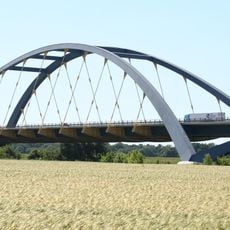
Saalebrücke Beesedau
1.6 km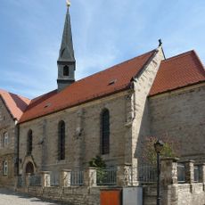
St. Elisabeth
1.5 km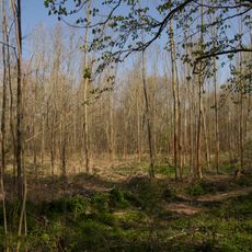
Auwald bei Plötzkau
4.6 km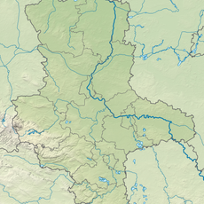
Nelbener Grund und Georgsburg
6.6 km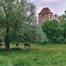
St. Dionysis (Trebnitz)
3.3 km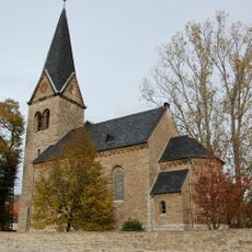
Dorfkirche Trebitz
5.2 km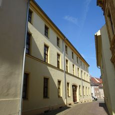
Hotel Deutsches Haus
1.4 km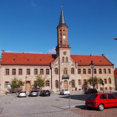
Rathaus Könnern
6.9 km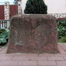
Meilenstein Trebitz
4.8 km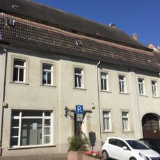
Markt 15
1.5 km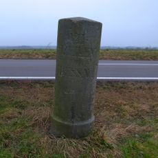
Meilenstein
5 km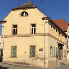
Gasthaus Zur Post
1.5 km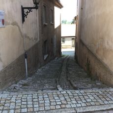
Humpeltreppe
1.4 km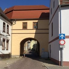
Saaltor
1.4 km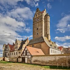
Schloss Plötzkau
3.8 km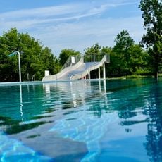
Freibad Alsleben
1.5 km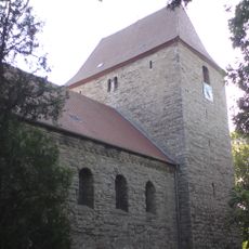
St. Petri und Pauli (Beesenlaublingen)
111 m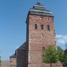
St. Wenzel (Könnern)
7 km
St. Nicola (Nelben)
6.1 km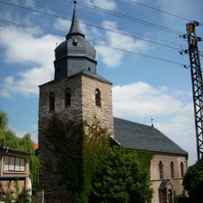
Protestant Church (Alsleben)
1.5 km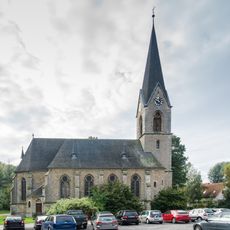
Protestant Church (Belleben)
5.8 km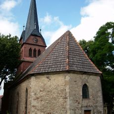
St. Moritz (Gnölbzig)
4.7 km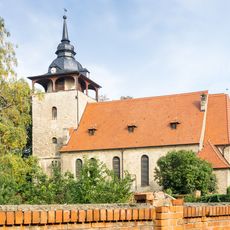
St. Nicolai (Strenznaundorf)
4.3 km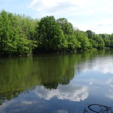
Auenwälder bei Plötzkau
5.9 kmReviews
Visited this place? Tap the stars to rate it and share your experience / photos with the community! Try now! You can cancel it anytime.
Discover hidden gems everywhere you go!
From secret cafés to breathtaking viewpoints, skip the crowded tourist spots and find places that match your style. Our app makes it easy with voice search, smart filtering, route optimization, and insider tips from travelers worldwide. Download now for the complete mobile experience.

A unique approach to discovering new places❞
— Le Figaro
All the places worth exploring❞
— France Info
A tailor-made excursion in just a few clicks❞
— 20 Minutes