
Jüdischer Friedhof, Friedhof in Hoppstädten, BRD
Location: Hoppstädten-Weiersbach
GPS coordinates: 49.62003,7.20063
Latest update: May 20, 2025 21:54
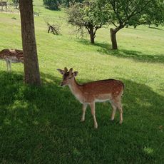
Naturwildpark Freisen
6.7 km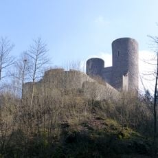
Burg Frauenburg
7.7 km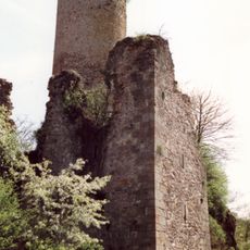
Veldenz Castle
5.5 km
Burg Birkenfeld
3.3 km
Neubrücke (Nahe) station
2.7 km
St. Remigius (Freisen)
8.2 km
Bosener Mühle
11 km
Schutzengelkirche Heimbach
3.5 km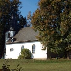
Heiligenbösch
10.7 km
Evangelical Church
6.5 km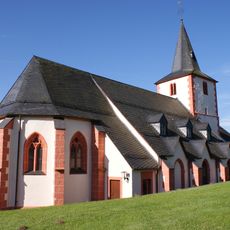
Kirche Niederbrombach
8.2 km
Vorkastell
9.9 km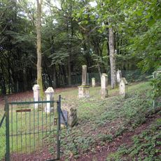
Jewish cemetery, Gonnesweiler
10.5 km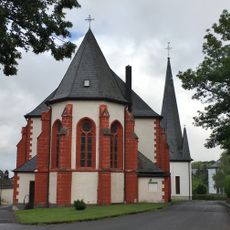
Saint Simon and Jude Thaddaeus, Baumholder
10 km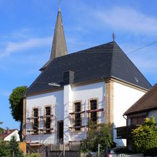
Evangelische Kirche
10.2 km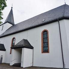
Evangelical Church Baumholder
10.1 km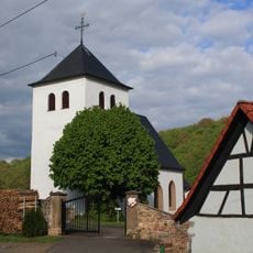
Kirche Nohen
3.8 km
Birkenfelder Tongrube
4.4 km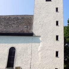
Evangelische Kirche
5.6 km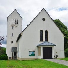
Church of the Assumption of Mary, Ruschberg
6.7 km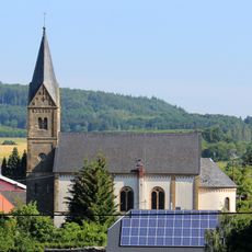
St. Laurentius
6.2 km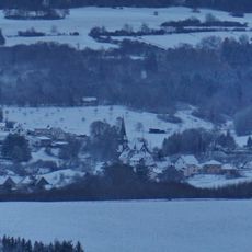
Church of Berglangenbach
4.2 km
Evangelische Kirche
8.2 km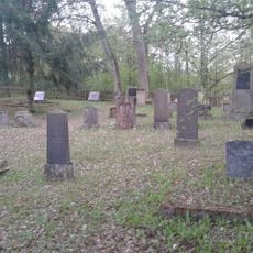
Jüdischer Friedhof Birkenfeld (Nahe)
3.8 km
Rosenkranzkönigin
10.5 km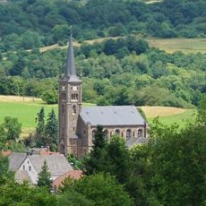
Church of Reichenbach, near Baumholder
6.9 km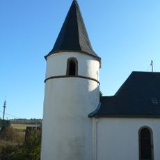
Church of Eckersweiler
9.2 km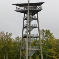
Hattgenstein Observation Tower
9.1 kmReviews
Visited this place? Tap the stars to rate it and share your experience / photos with the community! Try now! You can cancel it anytime.
Discover hidden gems everywhere you go!
From secret cafés to breathtaking viewpoints, skip the crowded tourist spots and find places that match your style. Our app makes it easy with voice search, smart filtering, route optimization, and insider tips from travelers worldwide. Download now for the complete mobile experience.

A unique approach to discovering new places❞
— Le Figaro
All the places worth exploring❞
— France Info
A tailor-made excursion in just a few clicks❞
— 20 Minutes