
Ehemaliger Pfarrhof, Vierseitanlage; ehem. Pfarrhaus, dreigeschossiger Satteldachbau, um 1870; ehem. Stallstadel, mit Satteldach, Pferdestall bezeichnet 1871; Einfahrtstor mit Nebengebäude, kleiner Satteldachbau mit Blockbau-Kniestock, 18. Jahrhundert
Location: Niederviehbach
Address: Kirchweg 5
GPS coordinates: 48.58062,12.37336
Latest update: April 30, 2025 19:37
Kirchberg
3.1 km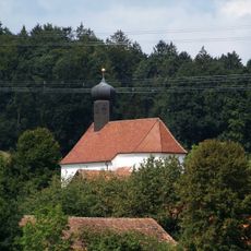
Katholische Filialkirche St. Johannes und Paulus
1.7 km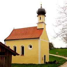
Oberschnittenkofen Kirche St. Rupert
3.3 km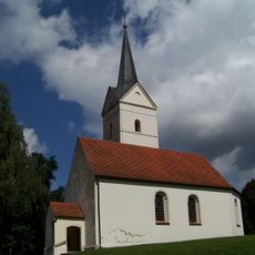
Katholische Filialkirche St. Magdalena
1.7 km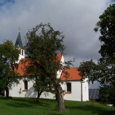
St. Stephan
3.1 km
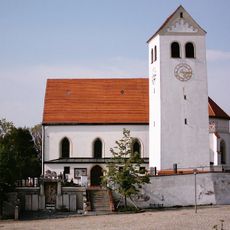
St. Georg
38 m
Katholische Filialkirche St. Elisabeth
3.2 km
Katholische Kirche Stephanus
4.3 km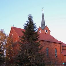
St.-Andreas-Kirche
2.7 km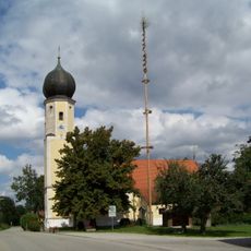
Katholische Filialkirche St. Leonhard
4 km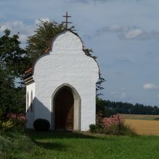
Hofkapelle (Rabenanger)
1.7 km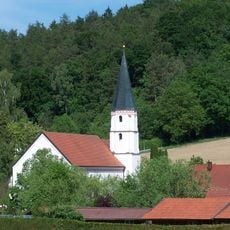
Katholische Kirche Margareta von Antiochia mit Kapelle
4.4 km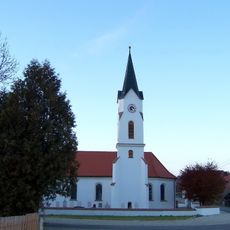
Pfarrkirche Jakobus der Ältere
3.2 km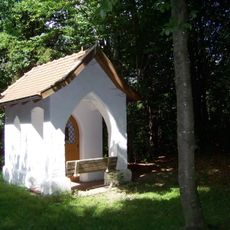
Waldkapelle
799 m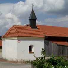
Weilerkapelle
4.1 km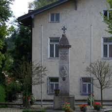
Kriegerdenkmal
3.9 km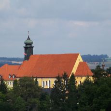
Ehem. Augustinerinnen-Kloster
3.9 km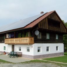
Wohnstallhaus eines Dreiseithofs
4.1 km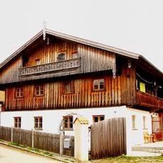
Wohnstallhaus eines Hakenhofs
3.2 km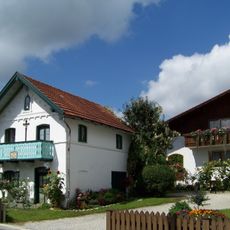
Wohnhaus
238 m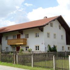
Bauernhof „Zum Metzger“
4.1 km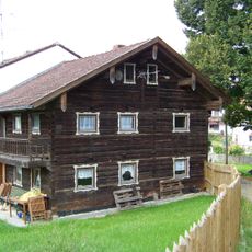
Bauernhaus
4.4 km
Stadel eines Vierseithofs
3.2 km
Ensemble Weiler Bödldorf
4.1 km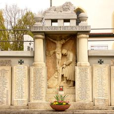
Kriegerdenkmal
3.1 km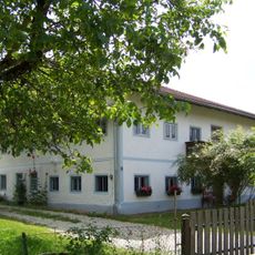
Ehemaliges Hafneranwesen
4.1 km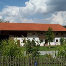
Ehemaliges Hafneranwesen mit Heuboden
4 km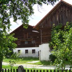
Wohnstallhaus mit Stadel
4.1 kmReviews
Visited this place? Tap the stars to rate it and share your experience / photos with the community! Try now! You can cancel it anytime.
Discover hidden gems everywhere you go!
From secret cafés to breathtaking viewpoints, skip the crowded tourist spots and find places that match your style. Our app makes it easy with voice search, smart filtering, route optimization, and insider tips from travelers worldwide. Download now for the complete mobile experience.

A unique approach to discovering new places❞
— Le Figaro
All the places worth exploring❞
— France Info
A tailor-made excursion in just a few clicks❞
— 20 Minutes