Hirschbrunnen NW von Roding, Geotop in Landkreis Cham in Bavaria, Germany
Location: Roding
Elevation above the sea: 375 m
Length: 50 m
Width: 50 m
GPS coordinates: 49.22676,12.45223
Latest update: October 25, 2025 15:50
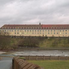
Kloster Strahlfeld
3.8 km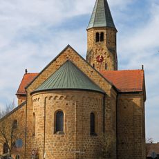
Mariä Namen
2.8 km
Burg Schwärzenberg
3.1 km
Strandbad Neubäu
2.3 km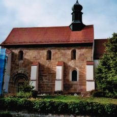
Heilige Drei Könige und St. Matthäus
5.6 km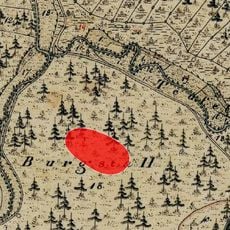
Burgstall Kirchenrohrbach
5.5 km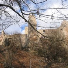
Pfahl-Ruine Schwärzenberg
3.1 km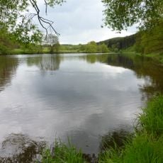
Regentalhänge zwischen Kirchenrohrbach und Zenzing
5.3 km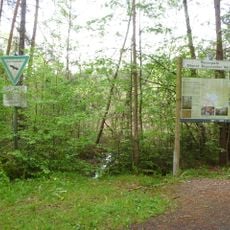
Neubäuer Weiher
2.6 km
Burgberg "Schwärzenberg" NW von Strahlfeld
3.1 km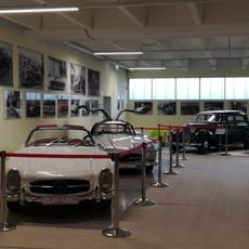
Dream Garage Roding
4.6 km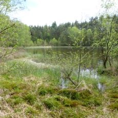
Neubäuer Weiher
2.6 km
Ehemaliges Bezirksamt, vormals Meierhof
5.7 km
Rathaus
5.8 km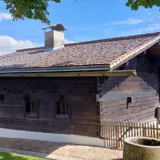
Ehemaliges Schulhaus, seit 1968 Schulmuseum
4.7 km
NSG 'Regentalhänge zwischen Kirchenrohrbach und Zenzing'
5.3 km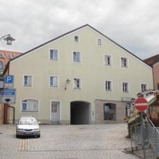
Bürgerhaus
5.8 km
Wohnhaus
5.7 km
Altes Rathaus mit Pranger
5.8 km
Industriedenkmal Kalksandsteinwerk
4.5 km
Kneipp-Anlage am Heilbrünnl
4.8 km
Brunnen
5.8 km
Scenic viewpoint
5.8 km
Stadtsilhouette und Regenfluss
5.7 km
Naturpark Oberer Bayerischer Wald
4.9 km
Neubäu am See
2.4 km
Regental
5.1 km
Rokoko-Kirche
4.9 kmReviews
Visited this place? Tap the stars to rate it and share your experience / photos with the community! Try now! You can cancel it anytime.
Discover hidden gems everywhere you go!
From secret cafés to breathtaking viewpoints, skip the crowded tourist spots and find places that match your style. Our app makes it easy with voice search, smart filtering, route optimization, and insider tips from travelers worldwide. Download now for the complete mobile experience.

A unique approach to discovering new places❞
— Le Figaro
All the places worth exploring❞
— France Info
A tailor-made excursion in just a few clicks❞
— 20 Minutes