
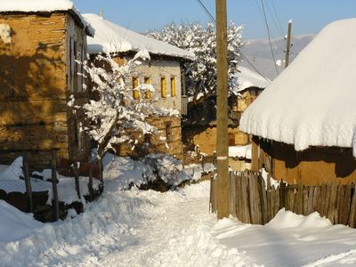
Tajmište, village in Southwestern, North Macedonia
Location: Kičevo Municipality
Elevation above the sea: 1,138 m
GPS coordinates: 41.64000,20.85860
Latest update: April 7, 2025 13:52
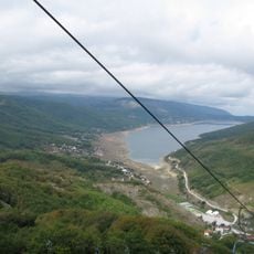
Mavrovo
9.2 km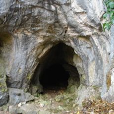
Убавица
8.5 km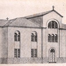
Симнишки манастир
9.1 km
Dzvezda
9.8 km
Dormition of the Theotokos Church, Leunovo
7.7 km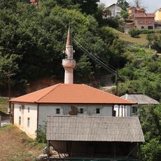
Old Mosque
9.1 km
Нова џамија (Симница)
9 km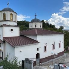
Црква „Св. Никола“ - Церово
9.2 km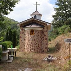
Црква „Св. Петка“ - Церово
9.2 km
St. Pantaleon's Church
8 km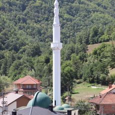
Џамија (Долна Ѓоновица)
9.3 km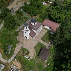
Црква „Св. Богородица“ - Сретково
7.3 km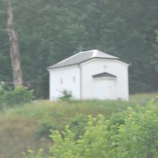
St. Petka Church
66 m
Arilets
8.7 km
Црква „Св. Никола“ - Горна Ѓоновица
8.8 km
Abdibezhitsa
4.9 km
Lisičja Dupka
3.9 km
Skala
5.5 km
Bukovik
4.9 km
Caška
6.8 km
Livadi
8.8 km
Aramiski Kamen
3.7 km
Crn Kamen
9.3 km
Ahmetovitsa
5.6 km
Tri Bari
8.6 km
Karpa
9.1 km
Krastica
4.4 km
Čukni Tapanica
6.9 kmVisited this place? Tap the stars to rate it and share your experience / photos with the community! Try now! You can cancel it anytime.
Discover hidden gems everywhere you go!
From secret cafés to breathtaking viewpoints, skip the crowded tourist spots and find places that match your style. Our app makes it easy with voice search, smart filtering, route optimization, and insider tips from travelers worldwide. Download now for the complete mobile experience.

A unique approach to discovering new places❞
— Le Figaro
All the places worth exploring❞
— France Info
A tailor-made excursion in just a few clicks❞
— 20 Minutes