
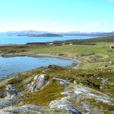
Lille Måsvannet, lake in Lebesby municipality, Norway
Location: Lebesby
Elevation above the sea: 178.25 m
GPS coordinates: 70.35540,26.76770
Latest update: August 25, 2025 17:04
Porsanger Fjord
52.8 km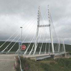
Sami Bridge
50.5 km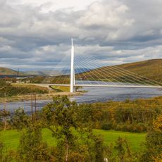
Tana Bridge
56.6 km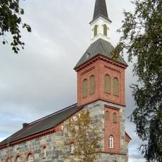
Utsjoki Church
55.5 km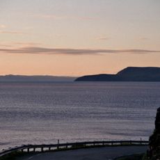
Laksefjord
46 km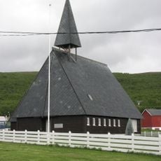
Lebesby Church
25.7 km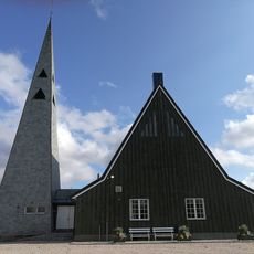
Tana Church
53.2 km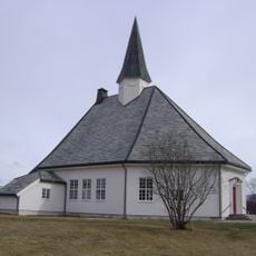
Børselv Church
46.1 km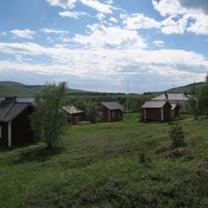
Utsjoki rectory
55.7 km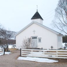
Polmak Church
55.8 km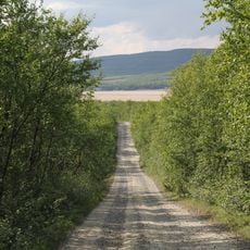
Nivajoki–Alajalve Museum Road
44.7 km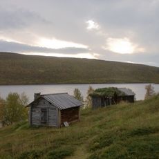
Utsjoki church cabins
55.6 km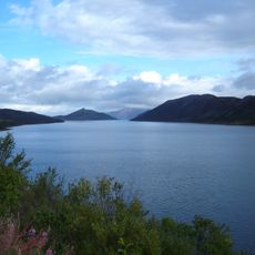
Smalfjorden
50.7 km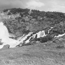
Adamsfjordfossen
5.8 km
Vestertana
43.4 km
Strömstadin rauhan rajakivet
49 km
Sirbma kapell
44.7 km
Utsjoki Heritage Area
55.5 km
Levajok fjellkirke
48.5 km
Vestertana kapell
41.8 km
MAB 1./513 Tana
57.8 km
Veidnes kapell
34.7 km
Tarmfjorden
45.4 km
Storfossen
46.3 km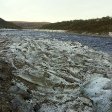
Áilegeavŋŋis
44.2 km
Silfarfossen
38.4 km
Public toilet in Utsjoki rectory
55.6 km
Stable in Utsjoki rectory
55.6 kmReviews
Visited this place? Tap the stars to rate it and share your experience / photos with the community! Try now! You can cancel it anytime.
Discover hidden gems everywhere you go!
From secret cafés to breathtaking viewpoints, skip the crowded tourist spots and find places that match your style. Our app makes it easy with voice search, smart filtering, route optimization, and insider tips from travelers worldwide. Download now for the complete mobile experience.

A unique approach to discovering new places❞
— Le Figaro
All the places worth exploring❞
— France Info
A tailor-made excursion in just a few clicks❞
— 20 Minutes