Oksdøla, protected area in Norway
Location: Namsos Municipality
GPS coordinates: 64.41400,11.17300
Latest update: November 1, 2025 08:43
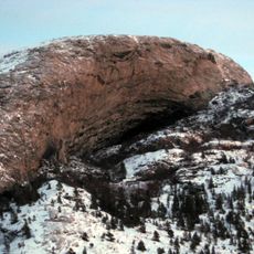
Hanshelleren Cave
19 km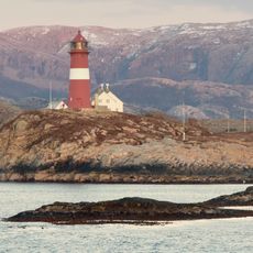
Buholmråsa Lighthouse
34.7 km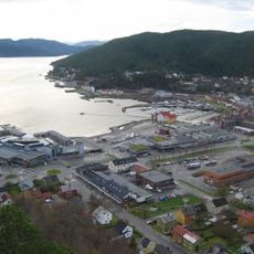
Namsenfjorden
14.3 km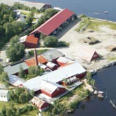
Norwegian Sawmill Museum
16.8 km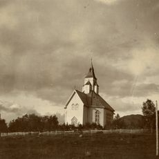
Otterøy Church
12.3 km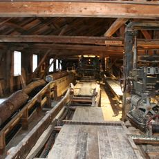
Spillum Dampsag & Høvleri
17 km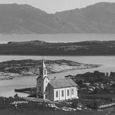
Løvøy Church
17.7 km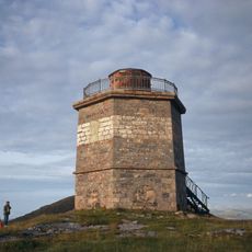
Villa Lighthouse
27.7 km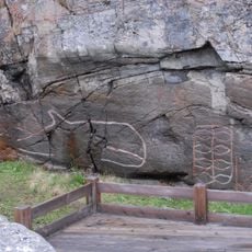
Strand/Høvikskaret
35.7 km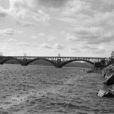
Namsbrua
18.8 km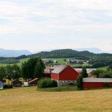
Seierstadfjorden
25.1 km
Reppen
34.5 km
Elgen
16.8 km
Bjørumsklumpen
16.8 km
Bunker
17.6 km
Installasjon D.D.E. 30 År
16.2 km
Åge Aleksandersen
16.5 km
Bust, Work of art
16.7 km
Installation artwork, Work of art
18.2 km
Bastion
16.7 km
Våttåheia
25.8 km
Krona
16.8 km
Scenic viewpoint
28.1 km
Scenic viewpoint
28.1 km
Scenic viewpoint
28.2 km
Scenic viewpoint
28.3 km
Scenic viewpoint
28 km
Scenic viewpoint
27.9 kmReviews
Visited this place? Tap the stars to rate it and share your experience / photos with the community! Try now! You can cancel it anytime.
Discover hidden gems everywhere you go!
From secret cafés to breathtaking viewpoints, skip the crowded tourist spots and find places that match your style. Our app makes it easy with voice search, smart filtering, route optimization, and insider tips from travelers worldwide. Download now for the complete mobile experience.

A unique approach to discovering new places❞
— Le Figaro
All the places worth exploring❞
— France Info
A tailor-made excursion in just a few clicks❞
— 20 Minutes