
Hevillen, protected area in Norway
Location: Malvik Municipality
Operator: Statsforvalteren i Sør-Trøndelag
GPS coordinates: 63.30700,10.73400
Latest update: May 21, 2025 01:11
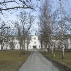
Reitgjerdet sykehus
18.7 km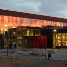
Charlottenlund High School
17.6 km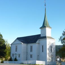
Bratsberg Church
13.4 km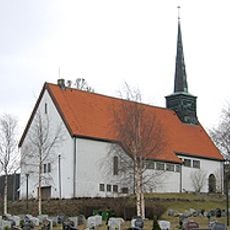
Ranheim Church
16.9 km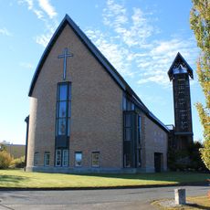
Hoeggen Church
18.3 km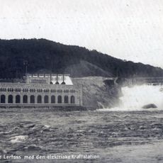
Nedre Leirfossen
18.7 km
Birgittenkloster Trondheim
17.7 km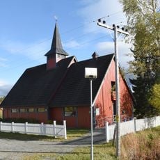
Mostadmark Chapel
5.3 km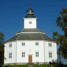
Klæbu Church
12.9 km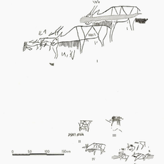
Hell rock carvings
17.6 km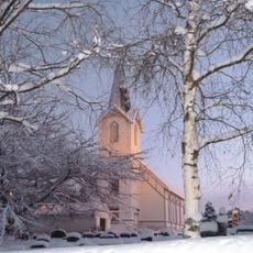
Lånke Church
18.3 km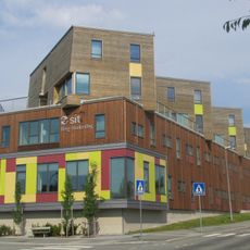
Berg studentby
18.6 km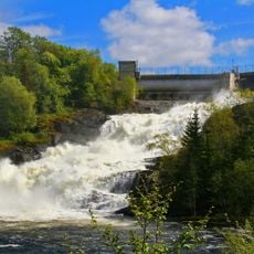
Leirfossen,øvre
17.5 km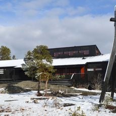
Vassfjell Chapel
16.5 km
Grøtte rock carvings
10.9 km
Vikåsen, Trondheim
15.5 km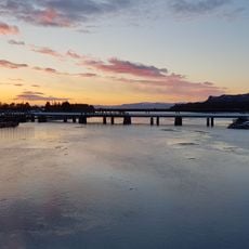
Hell jernbanebru
17.9 km
Villa Kvernbakken
18.1 km
Stjørdalsfjord
17.1 km
Selbu bygdemuseum
18.5 km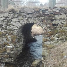
Gamle Stokkbrua
17.2 km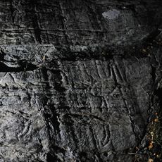
Hommelvik
13.6 km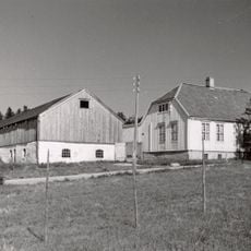
Granåsen
17.8 km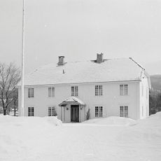
Klæbu prestegård
13 km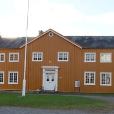
Selbu gramle prestegård, museum
18.5 km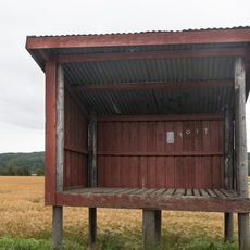
Hoem melkerampe
19.5 km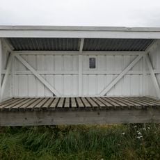
Hårstadengene melkerampe
18.4 km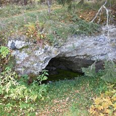
Mariakilden på Mostad
3.9 kmReviews
Visited this place? Tap the stars to rate it and share your experience / photos with the community! Try now! You can cancel it anytime.
Discover hidden gems everywhere you go!
From secret cafés to breathtaking viewpoints, skip the crowded tourist spots and find places that match your style. Our app makes it easy with voice search, smart filtering, route optimization, and insider tips from travelers worldwide. Download now for the complete mobile experience.

A unique approach to discovering new places❞
— Le Figaro
All the places worth exploring❞
— France Info
A tailor-made excursion in just a few clicks❞
— 20 Minutes