
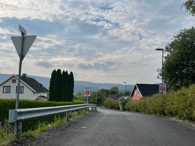
Brekkeski, weg in Noorwegen
Location: Bærum Municipality
GPS coordinates: 59.93392,10.46564
Latest update: November 4, 2025 07:45
Enli naturreservat
880 m
Eine
822 m
Haugskollen
1.3 km
Norneveien, Bærum
1 km
Urds vei
943 m
Valkyrieveien
575 m
St Olaven - St Olavskilden
1.3 km
Store Olaven
1.1 km
Scenic viewpoint
468 m
Barna på benken
1.4 km
Klovn
1.2 km
Fiskehandler
1.2 km
Danserinnen
555 m
Fole i trav
407 m
Skolejenter
282 m
Scenic viewpoint
628 m
Scenic viewpoint
556 m
Scenic viewpoint
455 m
Keiserpingvin
1.3 km
Haugskollen
1.3 km
St. Olaven
1.3 km
Scenic viewpoint
1 km
Scenic viewpoint
818 m
Solfjellstua
761 m
Scenic viewpoint
1.3 km
Scenic viewpoint
749 m
Scenic viewpoint
899 m
Scenic viewpoint
844 mReviews
Visited this place? Tap the stars to rate it and share your experience / photos with the community! Try now! You can cancel it anytime.
Discover hidden gems everywhere you go!
From secret cafés to breathtaking viewpoints, skip the crowded tourist spots and find places that match your style. Our app makes it easy with voice search, smart filtering, route optimization, and insider tips from travelers worldwide. Download now for the complete mobile experience.

A unique approach to discovering new places❞
— Le Figaro
All the places worth exploring❞
— France Info
A tailor-made excursion in just a few clicks❞
— 20 Minutes