
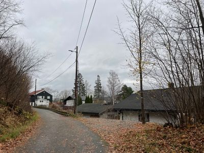
Dicks vei, weg in Noorwegen
Location: Bærum Municipality
GPS coordinates: 59.90728,10.63758
Latest update: November 18, 2025 00:15
Munkebakken, Bærum
399 m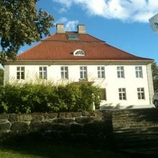
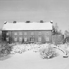
Fornebu hovedgård
626 m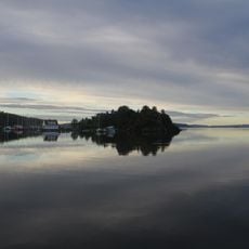
Lysakerfjorden
1.1 km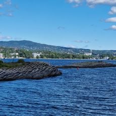
Lagmannsholmen Nature Reserve
1.1 km
Kilentunet Chapel
891 m
Bærum kunsthall
1.2 km
Engineerium
721 m
Bjørnekroken, Bærum
844 m
Emanuels vei
655 m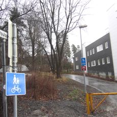
Magnus Poulssons vei
597 m
Stolperstein dedicated to Rachel Krupp f. Rothschild
1.1 km
Lysaker torg
534 m
Stolperstein dedicated to Isak Krupp
1.1 km
Stolperstein dedicated to Jan Larry Lasse Krupp
1.1 km
Solliveien
717 m
Fridtjof Nansens vei
211 m
Professor Kohts vei
915 m
Work of art
1.1 km
Vækerøstranda
900 m
Sollerudstranda
761 m
Work of art
750 m
Work of art
646 m
Work of art
659 m
Sculpture, Work of art
696 m
Work of art
939 m
Mural, Work of art
518 m
Møllefossen
835 m
Brydeskogen Utsiktpunkt
1 kmReviews
Visited this place? Tap the stars to rate it and share your experience / photos with the community! Try now! You can cancel it anytime.
Discover hidden gems everywhere you go!
From secret cafés to breathtaking viewpoints, skip the crowded tourist spots and find places that match your style. Our app makes it easy with voice search, smart filtering, route optimization, and insider tips from travelers worldwide. Download now for the complete mobile experience.

A unique approach to discovering new places❞
— Le Figaro
All the places worth exploring❞
— France Info
A tailor-made excursion in just a few clicks❞
— 20 Minutes