Haurida 5:2, röse i Småland
Location: Aneby Municipality
GPS coordinates: 57.90427,14.55659
Latest update: October 29, 2025 21:20
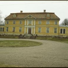
Östanå herrgård
7.2 km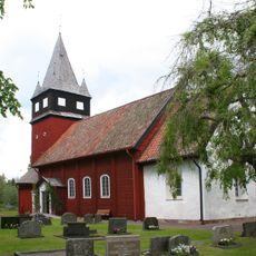
Haurida Church
2.5 km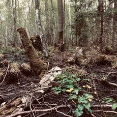
Strömsholmsskogen
8.3 km
Åsens utmark
2.1 km
Haurida 41:2
2.7 km
Vireda 2:2
3.2 km
Haurida 41:4
2.8 km
Brunns kapell
5.2 km
Haurida 54:2
4.6 km
Haurida 41:1
2.7 km
Svarttorp 6:1
6.8 km
Haurida 39:1
2.8 km
Vireda 8:1
3.4 km
Haurida 41:3
2.7 km
Haurida 54:1
4.6 km
Vireda 7:2
3.4 km
Vireda 16:1
4.5 km
Haurida 48:1
2.8 km
Vireda 91:4
4.2 km
Vireda 91:6
4.2 km
Vireda 91:1
4.3 km
Vireda 7:3
3.4 km
Vireda 2:1
3.2 km
Lommaryd 239:1
7.8 km
Lommaryd 240:1
5.6 km
Lommaryd 242:1
5.9 km
Haurida 49:1
3.1 km
Klintaberget
5.5 kmReviews
Visited this place? Tap the stars to rate it and share your experience / photos with the community! Try now! You can cancel it anytime.
Discover hidden gems everywhere you go!
From secret cafés to breathtaking viewpoints, skip the crowded tourist spots and find places that match your style. Our app makes it easy with voice search, smart filtering, route optimization, and insider tips from travelers worldwide. Download now for the complete mobile experience.

A unique approach to discovering new places❞
— Le Figaro
All the places worth exploring❞
— France Info
A tailor-made excursion in just a few clicks❞
— 20 Minutes