
Härna 31:1, hällristning i Västergötland
Location: Ulricehamn Municipality
GPS coordinates: 57.87165,13.25576
Latest update: April 11, 2025 21:37
Gemeinde Ulricehamn
11 km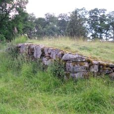
Vädersholm
4.7 km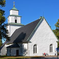
Ulricehamn Church
12.7 km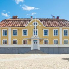
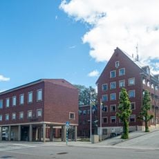
Ulricehamns rådhus
12.9 km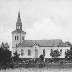
Fänneslunda socken
6.1 km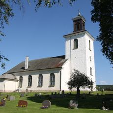
Rångedala Church
12 km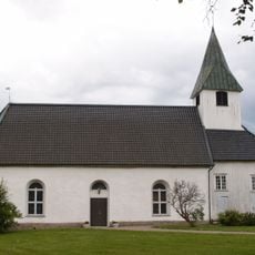
Varnums kyrka
8.2 km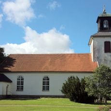
Hällstad Church
5.4 km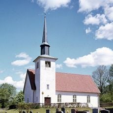
Möne Church
9.5 km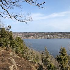
Kråkebo
12.3 km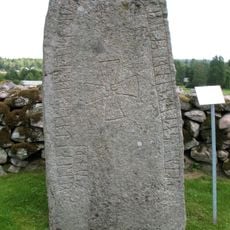
Vg 187
11.1 km
Ulricehamn City Library
12.9 km
Ulricehamn Krämaren 4
12.7 km
Fänneslunda old Church
6.2 km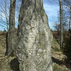
Västergötlands runinskrifter 174
12.5 km
Ulricehamn 19:1
10.9 km
Public beach Flatasjön Dalum
12.6 km
Timmele 30:1
9.9 km
Ulricehamn 25:1
10.4 km
Grand
12.6 km
Vg 167 Södra Vings kyrkogård
4.1 km
Nittorps gamla kyrka
8.7 km
Västergötlands runinskrifter 169
3.4 km
Västergötlands runinskrifter 175
11.9 km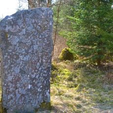
Västergötlands runinskrifter 162
9.8 km
Ulricehamn Svalan 2
12.8 km
Ansgarsgården, Ulricehamn
12.8 km
Od kyrka
8.9 kmReviews
Visited this place? Tap the stars to rate it and share your experience / photos with the community! Try now! You can cancel it anytime.
Discover hidden gems everywhere you go!
From secret cafés to breathtaking viewpoints, skip the crowded tourist spots and find places that match your style. Our app makes it easy with voice search, smart filtering, route optimization, and insider tips from travelers worldwide. Download now for the complete mobile experience.

A unique approach to discovering new places❞
— Le Figaro
All the places worth exploring❞
— France Info
A tailor-made excursion in just a few clicks❞
— 20 Minutes