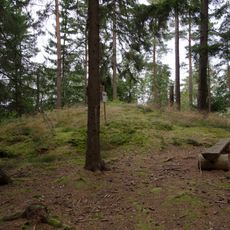
Tumberg 37:2, hällristning i Västergötland
Location: Vårgårda Municipality
GPS coordinates: 58.04022,12.83873
Latest update: November 6, 2025 17:44
Galgbacken, Vårgårda
1.2 km
Tumberg 13:1
1.3 km
Tumberg 47:1
1.3 km
Tumberg 25:1
1.1 km
Tumberg 17:2
417 m
Algutstorp 49:1
1.2 km
Kullings-Skövde 27:1
922 m
Galgbacken
1.2 km
Galgbacken
1.2 km
Tumberg 20:1
1 km
Tumberg 38:1
828 m
Algutstorp 42:1
1.2 km
Tumberg 35:2
1.1 km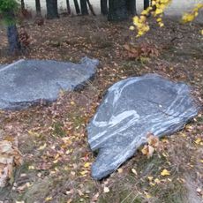
Tumberg 28:1
1.3 km
Vårgårda nostalgimuseum
1.3 km
Tumberg 37:1
2 m
Tumberg 17:3
403 m
Tumberg 17:1
425 m
Tumberg 39:1
1.3 km
Tumberg 44:1
461 m
Kullings-Skövde 24:1
1.2 km
Tumberg 24:1
180 m
Tumberg 19:1
828 m
Tumberg 18:2
933 m
Tumberg 35:1
1.1 km
Tumberg 18:1
931 m
Tumberg 43:1
385 m
Algutstorp 49:2
1.3 kmReviews
Visited this place? Tap the stars to rate it and share your experience / photos with the community! Try now! You can cancel it anytime.
Discover hidden gems everywhere you go!
From secret cafés to breathtaking viewpoints, skip the crowded tourist spots and find places that match your style. Our app makes it easy with voice search, smart filtering, route optimization, and insider tips from travelers worldwide. Download now for the complete mobile experience.

A unique approach to discovering new places❞
— Le Figaro
All the places worth exploring❞
— France Info
A tailor-made excursion in just a few clicks❞
— 20 Minutes