
Foss 481, stone setting in Munkedal Municipality, Västra Götaland County, Sweden
Location: Munkedal Municipality
GPS coordinates: 58.43691,11.71610
Latest update: March 19, 2025 16:17
Gemeinde Munkedal
12.9 km
Gullmarsbergs säteri
7.2 km
Dynge Castle
7.1 km
Stora Bornö
9.9 km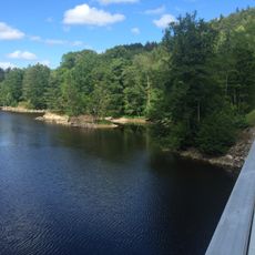
Kärnsjön
13.2 km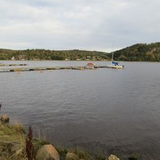
Saltkälle fjord
4 km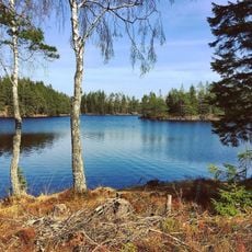
Herrestadsfjället
8.2 km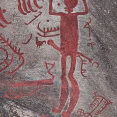
Backa petroglyph area
13.7 km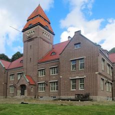
Tingshuset, Munkedal
3.2 km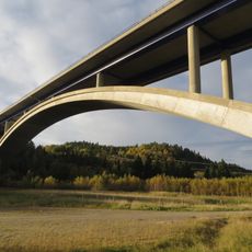
Munkedal Bridge
2 km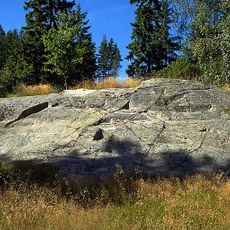
Rock carvings in Munkedal
6.4 km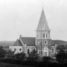
Valbo-Ryrs kyrka
8.5 km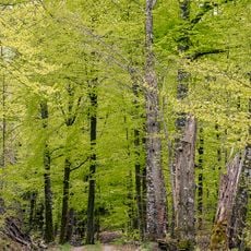
Vågsäter bokskog
4.6 km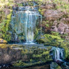
Kviström
3.1 km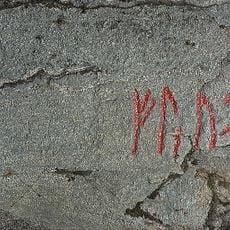
Bohusläns runinskrifter NIYR5;224
11.3 km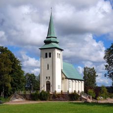
Munkedals kapell
5.7 km
Havstensfjorden (naturreservat)
13.3 km
Gullmar fjord
13.8 km
Broälven Nature Reserve
12.8 km
Inlands Nordre tingslag
9.7 km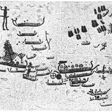
Foss 6:1
6.4 km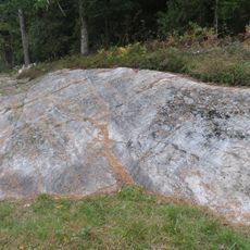
Foss 9:1
6.4 km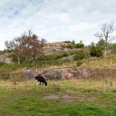
Broberg fortification
13.6 km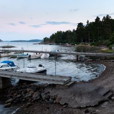
Barkedal beach
8.5 km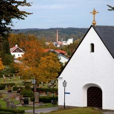
Foss gravkapell
4.6 km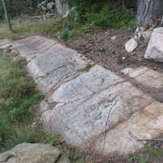
Foss 8:1
6.5 km
Holma bathing area
10.6 km
Skomakaren
13.7 kmReviews
Visited this place? Tap the stars to rate it and share your experience / photos with the community! Try now! You can cancel it anytime.
Discover hidden gems everywhere you go!
From secret cafés to breathtaking viewpoints, skip the crowded tourist spots and find places that match your style. Our app makes it easy with voice search, smart filtering, route optimization, and insider tips from travelers worldwide. Download now for the complete mobile experience.

A unique approach to discovering new places❞
— Le Figaro
All the places worth exploring❞
— France Info
A tailor-made excursion in just a few clicks❞
— 20 Minutes